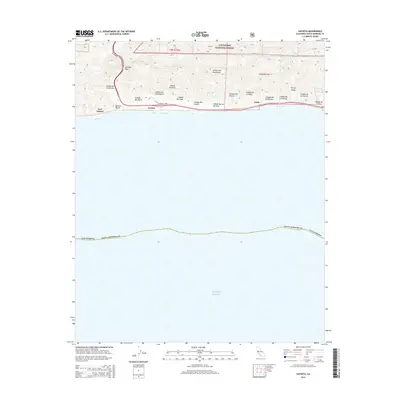
2015 Map of Gaviota
USGS Topo · Published 2015About this map
Gaviota Pass cuts through the steep southern face of the Santa Ynez Mountains, creating a historic gateway between the interior and the Santa Barbara coast. This coastal landscape is defined by a dense series of parallel canyons, or cañadas, including Cañada del Cementerio, Cañada Alcatraz, and Cañada De Las Zorrillas, which drain from the Los Padres National Forest directly toward the Pacific Ocean. Along the narrow coastal shelf, small coastal settlements like Gaviota and Port Orford sit near the mouth of Cañada de la Gaviota. The proximity of the shoreline to the mountains leaves little room for development, resulting in a distinct transportation corridor where the highway and local roads like Calle Mariposa Reina follow the natural contours of the bluffs and beaches.
Find a feature on this map
23 named features on this map. Tap any name to fly to it.
Don’t see what you’re looking for? This feature index may not catch every label — zoom into the map to look around manually.
Map Details
Editions of this 2015 Gaviota Map
This is the sole edition of this map. No revisions or reprints were ever made.
Other maps of this area
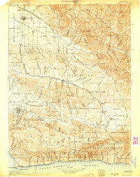
1905 · Lompoc
USGS Topo · 1:125,000
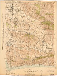
1942 · Lompoc
USGS Topo · 1:125,000
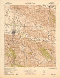
1942 · Lompoc
USGS Topo · 1:62,500
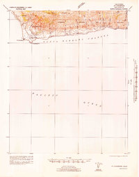
1942 · Pt. Conception
USGS Topo · 1:62,500
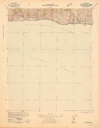
1942 · Gaviota
USGS Topo · 1:62,500
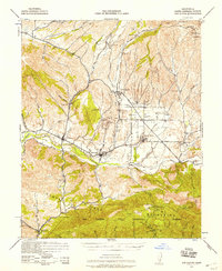
1942 · Los Olivos
USGS Topo · 1:62,500
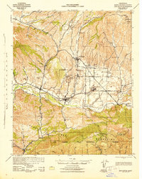
1943 · Los Olivos
USGS Topo · 1:62,500
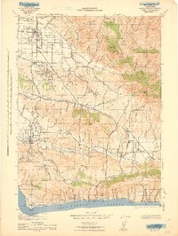
1943 · Lompoc
USGS Topo · 1:125,000
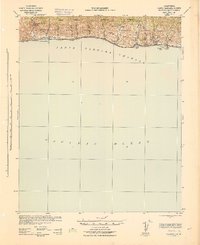
1943 · Gaviota
USGS Topo · 1:62,500
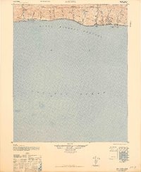
1947 · Gaviota
USGS Topo · 1:62,500