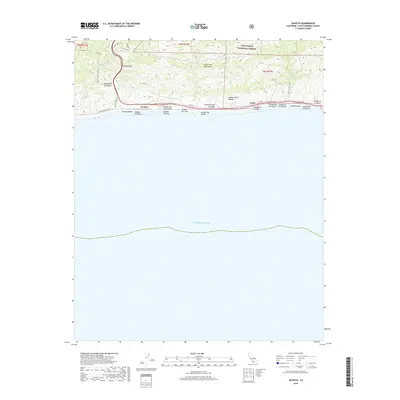
2018 Map of Gaviota
USGS Topo · Published 2018About this map
The Santa Ynez Mountains descend abruptly to the Pacific Ocean along this coastal stretch of Santa Barbara County. This landscape is defined by its dramatic topographic relief and the series of coastal canyons, or cañadas, that drain south toward the sea. The historic Gaviota Pass provides a critical natural gateway through the ridgelines, leading toward the small settlement of Gaviota. Along the shoreline, Gaviota Beach and the mouth of Arroyo Hondo mark the transition from the steep upland slopes of the Los Padres National Forest to the narrow coastal shelf. The map reveals a complex drainage system including Cañada del Cementerio, Cañada del Leon, and Cañada San Onofre. Human transit is restricted to the thin corridor of the coast and the mountain pass, featuring Hollister Ranch Rd and the Beach to Backcountry trail system.
Find a feature on this map
27 named features on this map. Tap any name to fly to it.
Don’t see what you’re looking for? This feature index may not catch every label — zoom into the map to look around manually.
Map Details
Editions of this 2018 Gaviota Map
This is the sole edition of this map. No revisions or reprints were ever made.
Other maps of this area
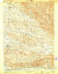
1905 · Lompoc
USGS Topo · 1:125,000
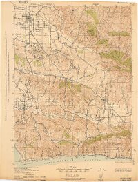
1942 · Lompoc
USGS Topo · 1:125,000
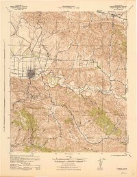
1942 · Lompoc
USGS Topo · 1:62,500
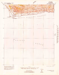
1942 · Pt. Conception
USGS Topo · 1:62,500
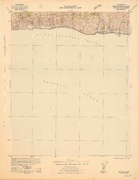
1942 · Gaviota
USGS Topo · 1:62,500
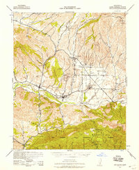
1942 · Los Olivos
USGS Topo · 1:62,500
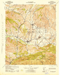
1943 · Los Olivos
USGS Topo · 1:62,500
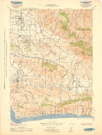
1943 · Lompoc
USGS Topo · 1:125,000
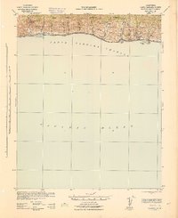
1943 · Gaviota
USGS Topo · 1:62,500
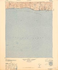
1947 · Gaviota
USGS Topo · 1:62,500