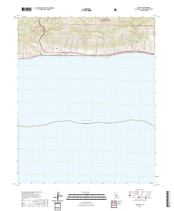
2021 Map of Gaviota
USGS Topo · Published 2021About this map
Gaviota Pass serves as a critical geographic gateway through the Santa Ynez Mountains, where the coastal shelf meets the steep southern front of the Transverse Ranges. This 2021 survey illustrates a landscape dominated by deep coastal canyons, or cañadas, that drain south from the high ridges of the Los Padres National Forest toward the Pacific Ocean. Each drainage is distinctly named, including Cañada del Cementerio and Cañada Del Molino, reflecting long-established land divisions and local history.
Find a feature on this map
38 named features on this map. Tap any name to fly to it.
Don’t see what you’re looking for? This feature index may not catch every label — zoom into the map to look around manually.
Map Details
Editions of this 2021 Gaviota Map
This is the sole edition of this map. No revisions or reprints were ever made.
Other maps of this area

1905 · Lompoc
USGS Topo · 1:125,000

1942 · Lompoc
USGS Topo · 1:125,000

1942 · Lompoc
USGS Topo · 1:62,500

1942 · Pt. Conception
USGS Topo · 1:62,500

1942 · Gaviota
USGS Topo · 1:62,500

1942 · Los Olivos
USGS Topo · 1:62,500

1943 · Los Olivos
USGS Topo · 1:62,500

1943 · Lompoc
USGS Topo · 1:125,000

1943 · Gaviota
USGS Topo · 1:62,500

1947 · Gaviota
USGS Topo · 1:62,500