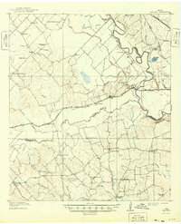
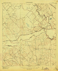
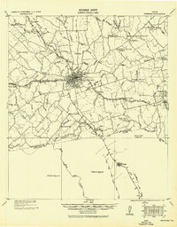
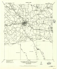
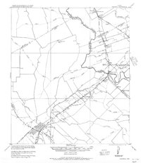
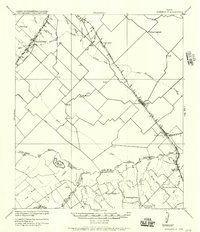
1914 Map of Gay Hill
USGS Topo · Published 1949About this map
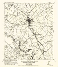
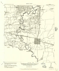
Independence and the surrounding farmsteads of Burleson and Washington Counties anchor this pre-World War I landscape. The erratic course of the Brazos River dominates the eastern boundary, where its meanders created seasonal features like Clay Lake and left behind the oxbow of the Old River. This era was defined by a dense network of local education, evidenced by the numerous rural schoolhouses such as Allseeing Eye School, Merle School, and Union Grove School that served dispersed agricultural communities.
Find a feature on this map
58 named features on this map. Tap any name to fly to it.
Don’t see what you’re looking for? This feature index may not catch every label — zoom into the map to look around manually.
Map Details
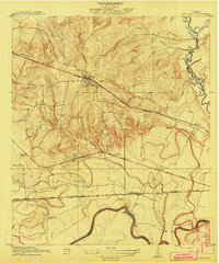
Editions of this 1914 Gay Hill Map
2 editions found
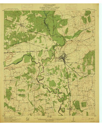
Other maps of this area
1913 · Millican
USGS Topo · 1:31,680
1914 · Gay Hill
USGS Topo · 1:62,500
1914 · Navasota
USGS Topo · 1:62,500
1930 · Brenham
USGS Topo · 1:62,500

1954 · Austin
USGS Topo · 1:250,000
1956 · Bryan
USGS Topo · 1:62,500
1956 · Hempstead
USGS Topo · 1:62,500
1956 · Brenham
USGS Topo · 1:62,500
1956 · Caldwell
USGS Topo · 1:62,500
1956 · Somerville
USGS Topo · 1:62,500