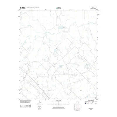
2010 Map of Gay Hill
USGS Topo · Published 2010About this map
Yegua Creek and its many tributaries, including Wolf Creek and Davidson Creek, define this rural Washington County landscape. The map captures a primarily agricultural region interspersed with specialized industry, most notably at the Clay Creek Oil Field and the Dallas Oil Field. These energy sites, along with the Gay Hill Farm Airport, indicate the modern economic layers of a traditionally pastoral area. For genealogists, the map identifies several local burial grounds such as Wallace Cemetery, Oak Rest Cemetery, and Frieden Cemetery. The settlement patterns around Gay Hill and Prairie Hill are shown alongside an extensive network of named local roads like Old Gay Hill Rd and Mound Hill Rd, which serve as a guide to family land holdings and historical residences in the early 21st century.
Find a feature on this map
60 named features on this map. Tap any name to fly to it.
Don’t see what you’re looking for? This feature index may not catch every label — zoom into the map to look around manually.
Map Details
Editions of this 2010 Gay Hill Map
This is the sole edition of this map. No revisions or reprints were ever made.
Other maps of this area

1914 · Gay Hill
USGS Topo · 1:62,500

1930 · Brenham
USGS Topo · 1:62,500

1954 · Austin
USGS Topo · 1:250,000

1956 · Brenham
USGS Topo · 1:62,500

1956 · Somerville
USGS Topo · 1:62,500

1958 · Burton
USGS Topo · 1:24,000

1959 · Gay Hill
USGS Topo · 1:24,000

1959 · Clay
USGS Topo · 1:24,000

1959 · Somerville
USGS Topo · 1:24,000

1959 · Independence
USGS Topo · 1:24,000