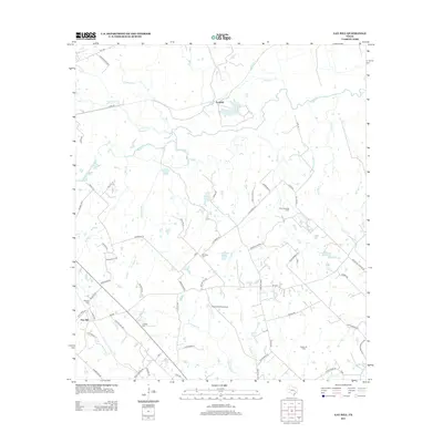
2013 Map of Gay Hill
USGS Topo · Published 2013About this map
Gay Hill sits at the southwestern edge of this landscape, where the rural road network branches out into the surrounding ranchlands and creek bottoms. The area is defined by its deep connection to the land, featuring multiple small family or community burial grounds such as Frieden Cem, Oak Rest Cem, and Wallace Cem. These sites, tucked away from the main thoroughfares like FM 390, provide essential clues for genealogists tracing local families in this part of Washington County.
Find a feature on this map
68 named features on this map. Tap any name to fly to it.
Don’t see what you’re looking for? This feature index may not catch every label — zoom into the map to look around manually.
Map Details
Editions of this 2013 Gay Hill Map
This is the sole edition of this map. No revisions or reprints were ever made.
Other maps of this area

1914 · Gay Hill
USGS Topo · 1:62,500

1930 · Brenham
USGS Topo · 1:62,500

1954 · Austin
USGS Topo · 1:250,000

1956 · Brenham
USGS Topo · 1:62,500

1956 · Somerville
USGS Topo · 1:62,500

1958 · Burton
USGS Topo · 1:24,000

1959 · Gay Hill
USGS Topo · 1:24,000

1959 · Clay
USGS Topo · 1:24,000

1959 · Somerville
USGS Topo · 1:24,000

1959 · Independence
USGS Topo · 1:24,000