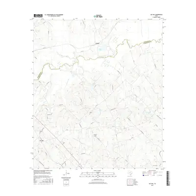
2016 Map of Gay Hill
USGS Topo · Published 2016About this map
Gay Hill and Scofield anchor this agricultural landscape in Washington County, where the terrain is defined by the winding course of Yegua Creek and its many tributaries. The area maintains its rural character through established family landmarks and burial sites, including Oak Rest Cem, Wallace Cem, and Frieden Cem. These small cemeteries are scattered across the rolling hills, often located near private ranches and local access roads like Wauls Legion Rd.
Find a feature on this map
64 named features on this map. Tap any name to fly to it.
Don’t see what you’re looking for? This feature index may not catch every label — zoom into the map to look around manually.
Map Details
Editions of this 2016 Gay Hill Map
This is the sole edition of this map. No revisions or reprints were ever made.
Other maps of this area

1914 · Gay Hill
USGS Topo · 1:62,500

1930 · Brenham
USGS Topo · 1:62,500

1954 · Austin
USGS Topo · 1:250,000

1956 · Brenham
USGS Topo · 1:62,500

1956 · Somerville
USGS Topo · 1:62,500

1958 · Burton
USGS Topo · 1:24,000

1959 · Gay Hill
USGS Topo · 1:24,000

1959 · Clay
USGS Topo · 1:24,000

1959 · Somerville
USGS Topo · 1:24,000

1959 · Independence
USGS Topo · 1:24,000