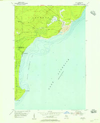
1954 Map of Gay
USGS Topo · Published 1955About this map
The settlement of Gay stands at the center of this 1954 shoreline survey, where the Tobacco River meets the cold waters of Lake Superior. This coastal landscape in the Keweenaw Peninsula is heavily defined by the copper industry's footprint, most notably in the massive area of Tailings extending into the lake south of town. These industrial deposits reflect the processing legacy of the nearby Copper Range transport route. Further south, the map traces the intricate shoreline of Grand Traverse Bay, leading to geographic markers like Traverse Point and Louis Point. The boundary between Keweenaw and Houghton counties bisects the area near the mouth of the Traverse River, illustrating the intersection of civil administrative lines with the natural topography of the Sherman and Torch Lake townships.
Find a feature on this map
14 named features on this map. Tap any name to fly to it.
Don’t see what you’re looking for? This feature index may not catch every label — zoom into the map to look around manually.
Map Details
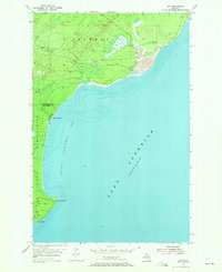
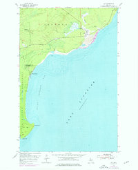
Editions of this 1954 Gay Map
Other maps of this area

1938 · Bruneau Creek
USGS Topo · 1:31,680

1938 · Gay
USGS Topo · 1:31,680

1939 · Deer Lake
USGS Topo · 1:31,680

1940 · Deer Lake
USGS Topo · 1:31,680

1941 · Mohawk
USGS Topo · 1:31,680

1946 · Bruneau Creek
USGS Topo · 1:24,000

1946 · Mohawk
USGS Topo · 1:24,000
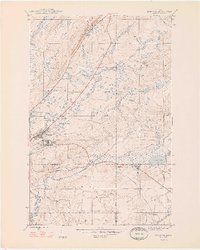
1948 · Mohawk
USGS Topo · 1:24,000
1948 · Bruneau Creek
USGS Topo · 1:24,000
1948 · Deer Lake
USGS Topo · 1:24,000