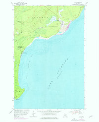
1954 Map of Gay
USGS Topo · Published 1976About this map
The coastal village of Gay sits prominently on the shoreline of Lake Superior, serving as a focal point for this 1950s study of the Keweenaw Peninsula. Large industrial deposits marked as Tailings along the coast speak to the area's history of mineral processing, while the presence of an Old Railroad Grade running through the township of Sherman indicates the shifting transportation infrastructure of the mid-20th century.
Find a feature on this map
14 named features on this map. Tap any name to fly to it.
Don’t see what you’re looking for? This feature index may not catch every label — zoom into the map to look around manually.
Map Details
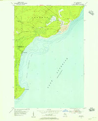
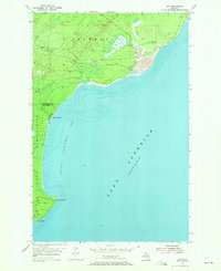
Editions of this 1954 Gay Map
Other maps of this area

1938 · Bruneau Creek
USGS Topo · 1:31,680

1938 · Gay
USGS Topo · 1:31,680

1939 · Deer Lake
USGS Topo · 1:31,680

1940 · Deer Lake
USGS Topo · 1:31,680

1941 · Mohawk
USGS Topo · 1:31,680

1946 · Bruneau Creek
USGS Topo · 1:24,000

1946 · Mohawk
USGS Topo · 1:24,000
1948 · Mohawk
USGS Topo · 1:24,000
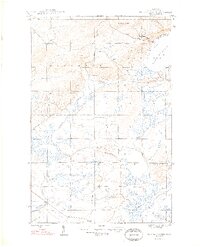
1948 · Bruneau Creek
USGS Topo · 1:24,000
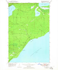
1948 · Deer Lake
USGS Topo · 1:24,000