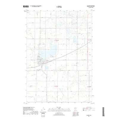
2019 Map of Gaylord
USGS Topo · Published 2019About this map
The city of Gaylord serves as the focal point of this Sibley County landscape, where the street grid is defined by thoroughfares like Main Ave and Sibley Ave. The settlement is closely tied to its glacial hydrology, situated between the waters of Titlow Lake and Mud Lake. The surrounding prairie is dotted with smaller basins including Beatty Lake, Weimann Lake, and Duff Lake, many of which are connected by a network of drainage infrastructure such as High Island Ditch Number Five and County Ditch Number Forty-three.
Find a feature on this map
51 named features on this map. Tap any name to fly to it.
Don’t see what you’re looking for? This feature index may not catch every label — zoom into the map to look around manually.
Map Details
Editions of this 2019 Gaylord Map
This is the sole edition of this map. No revisions or reprints were ever made.
Other maps of this area

1953 · New Ulm
USGS Topo · 1:250,000

1957 · New Ulm
USGS Topo · 1:250,000

1958 · New Ulm
USGS Topo · 1:250,000

1958 · Gaylord
USGS Topo · 1:62,500

1958 · Winthrop
USGS Topo · 1:62,500

1964 · Bernadotte
USGS Topo · 1:24,000

1965 · Norseland
USGS Topo · 1:24,000

1965 · New Sweden
USGS Topo · 1:24,000

1967 · New Ulm
USGS Topo · 1:250,000
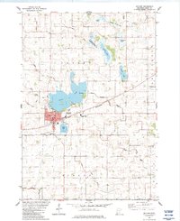
1982 · Gaylord
USGS Topo · 1:24,000