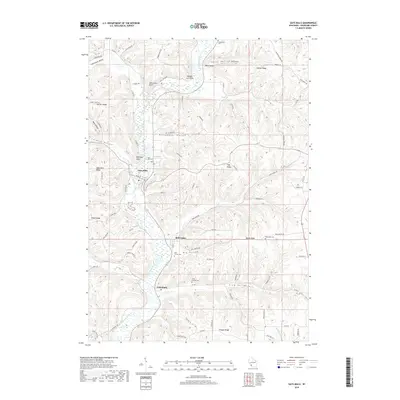
2018 Map of Gays Mills
USGS Topo · Published 2018About this map
The Kickapoo River meanders through a landscape defined by sharp ridges and deep hollows in this 2018 survey of Crawford County. The village of Gays Mills serves as a primary hub along the riverbanks, surrounded by high elevation points such as McGregor Point and Gays Mills Ridge. This area of the Driftless Region shows a distinct pattern of settlement following the narrow valley floors and the flat tops of ridges like Larsen Ridge and Halverson Ridge.
Find a feature on this map
86 named features on this map. Tap any name to fly to it.
Don’t see what you’re looking for? This feature index may not catch every label — zoom into the map to look around manually.
Map Details
Editions of this 2018 Gays Mills Map
This is the sole edition of this map. No revisions or reprints were ever made.
Other maps of this area

1924 · Gays Mills
USGS Topo · 1:62,500

1926 · Gays Mills
USGS Topo · 1:62,500

1926 · Wauzeka
USGS Topo · 1:62,500

1933 · Boaz
USGS Topo · 1:62,500

1933 · Boscobel
USGS Topo · 1:62,500

1958 · La Crosse
USGS Topo · 1:250,000

1961 · La Crosse
USGS Topo · 1:250,000

1965 · La Crosse
USGS Topo · 1:250,000
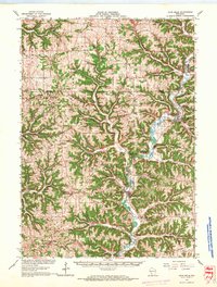
1966 · Gays Mills
USGS Topo · 1:62,500

1966 · Boaz
USGS Topo · 1:62,500