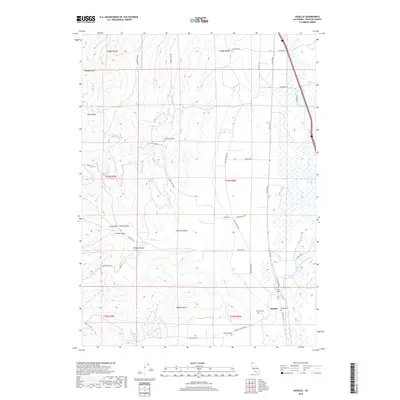
2018 Map of Gazelle
USGS Topo · Published 2018About this map
Gazelle sits as the primary settlement in this northern California valley, surrounded by a complex system of watercourses and named canyons. The landscape is defined by the drainage patterns of Willow Cr and Scarface Cr, which flow through a terrain marked by prominent landmarks such as Antelope Mtn and the distinctive Bonnet Rock. Local history is anchored by the presence of both the Gazelle Cem and Foulke Cem, suggesting deep-rooted family ties to this ranching and agricultural region.
Find a feature on this map
40 named features on this map. Tap any name to fly to it.
Don’t see what you’re looking for? This feature index may not catch every label — zoom into the map to look around manually.
Map Details
Editions of this 2018 Gazelle Map
This is the sole edition of this map. No revisions or reprints were ever made.
Other maps of this area
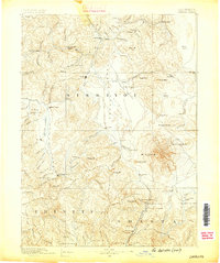
1886 · Shasta
USGS Topo · 1:250,000
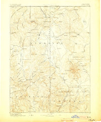
1894 · Shasta
USGS Topo · 1:250,000
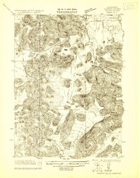
1921 · Shasta Valley Sheet No 7
USGS Topo · 1:24,000
1921 · Shasta Valley Sheet No 1
USGS Topo · 1:24,000
1921 · Shasta Valley Sheet No 6
USGS Topo · 1:24,000
1921 · Shasta Valley Sheet No 2
USGS Topo · 1:24,000
1922 · Shasta Valley Sheet No 1 S
USGS Topo · 1:24,000
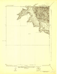
1922 · Shasta Valley Sheet No 3 S
USGS Topo · 1:24,000
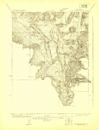
1922 · Shasta Valley Sheet No 8
USGS Topo · 1:24,000
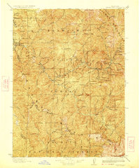
1923 · Sawyers Bar
USGS Topo · 1:125,000