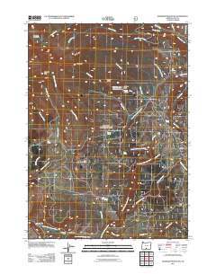
2011 Map of Gearhart Mountain
USGS Topo · Published 2011About this map
Gearhart Mountain and the high plateaus of Lake County dominate this 2011 survey, showing a landscape defined by seasonal camps and water sources. The South Fork Sprague River snakes through the southern half of the map near the settlement of Blaisdell, where family and historical names like Coykendall Cabin and Utley Cabin mark the human footprint in this high-elevation terrain. The presence of numerous named springs, such as Mitten Spring and Cottonwood Spring, underscores the importance of water management in this arid region.
Find a feature on this map
42 named features on this map. Tap any name to fly to it.
Don’t see what you’re looking for? This feature index may not catch every label — zoom into the map to look around manually.
Map Details
Editions of this 2011 Gearhart Mountain Map
This is the sole edition of this map. No revisions or reprints were ever made.
Other maps of this area
1955 · Klamath Falls
USGS Topo · 1:250,000
1958 · Klamath Falls
USGS Topo · 1:250,000
1960 · Fishhole Mtn
USGS Topo · 1:62,500
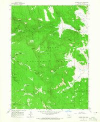
1964 · Coleman Point
USGS Topo · 1:24,000
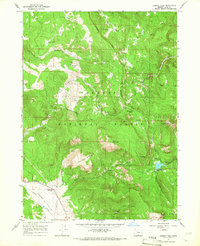
1964 · Cougar Peak
USGS Topo · 1:24,000
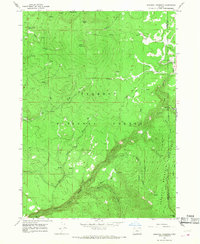
1966 · Sandhill Crossing
USGS Topo · 1:24,000
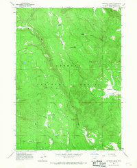
1966 · Coffeepot Creek
USGS Topo · 1:24,000
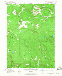
1966 · Lee Thomas Crossing
USGS Topo · 1:24,000
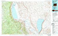
1974 · Lake Abert
USGS Topo · 1:100,000
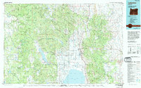
1975 · Lakeview
USGS Topo · 1:100,000