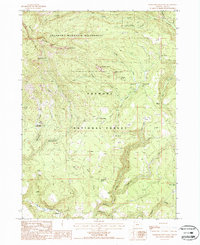
1988 Map of Gearhart Mountain
USGS Topo · Published 1988About this map
Gearhart Mountain Wilderness dominates this topographic study of the Lake County high country, where volcanic geology is visible through prominent formations like The Dome, Haystack Rock, and the Palisade Rocks. The landscape within the Fremont National Forest is defined by a dense network of water sources, ranging from the South Fork Sprague River in the south to the high-elevation Lookout Spring and Cottonwood Spring.
Find a feature on this map
48 named features on this map. Tap any name to fly to it.
Don’t see what you’re looking for? This feature index may not catch every label — zoom into the map to look around manually.
Map Details
Editions of this 1988 Gearhart Mountain Map
This is the sole edition of this map. No revisions or reprints were ever made.
Other maps of this area

1955 · Klamath Falls
USGS Topo · 1:250,000

1958 · Klamath Falls
USGS Topo · 1:250,000

1960 · Fishhole Mtn
USGS Topo · 1:62,500

1964 · Coleman Point
USGS Topo · 1:24,000

1964 · Cougar Peak
USGS Topo · 1:24,000

1966 · Sandhill Crossing
USGS Topo · 1:24,000

1966 · Coffeepot Creek
USGS Topo · 1:24,000

1966 · Lee Thomas Crossing
USGS Topo · 1:24,000

1974 · Lake Abert
USGS Topo · 1:100,000

1975 · Lakeview
USGS Topo · 1:100,000