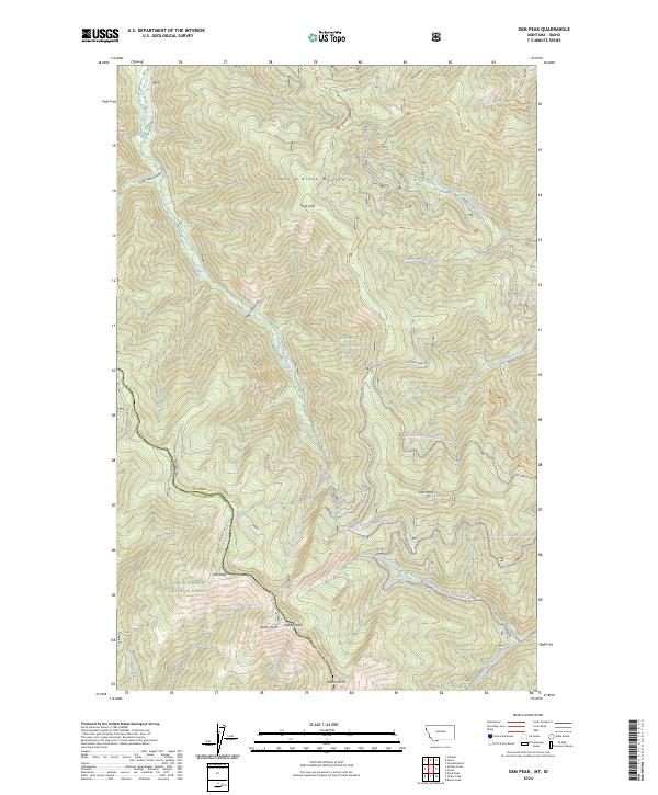
2024 Map of Gem Peak
USGS Topo · Published 2024About this map
The Coeur d'Alene Mountains dominate this high-altitude landscape along the border of Sanders County, Montana, and Shoshone County, Idaho. The terrain is defined by prominent summits and ridgelines, including the namesake Gem Peak, Ulm Peak, and Eightypeak. The convergence of Kaniksu National Forest and Coeur d'Alene National Forest creates a massive tract of protected wilderness, where transportation is limited to forest service roads like Coeur d'Alene NF RD 430 and specialized paths such as the Marten Creek Snowmobile Route Trl.
Find a feature on this map
45 named features on this map. Tap any name to fly to it.
Don’t see what you’re looking for? This feature index may not catch every label — zoom into the map to look around manually.
Map Details
Editions of this 2024 Gem Peak Map
This is the sole edition of this map. No revisions or reprints were ever made.
Other maps of this area

1909 · Cataldo
USGS Topo · 1:125,000

1911 · Cataldo
USGS Topo · 1:125,000

1911 · Priest Lake
USGS Topo · 1:250,000

1913 · Priest Lake
USGS Topo · 1:250,000

1920 · Libby
USGS Topo · 1:125,000

1930 · Libby
USGS Topo · 1:125,000

1932 · Libby
USGS Topo · 1:125,000

1932 · Trout Creek
USGS Topo · 1:125,000

1935 · Trout Creek
USGS Topo · 1:125,000

1936 · Trout Creek
USGS Topo · 1:125,000