
1937 Map of Genesee
USGS Topo · Published 1937About this map
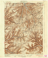
The headwaters of the Genesee River and the Allegheny River define this high plateau region in northern Potter County, where several drainages diverge near the New York state line. During the 1930s, the landscape was a network of narrow hollows and ridge-top settlements like Andrews Settlement and Bingham Center. The transportation infrastructure is particularly dense in the valleys, featuring the Baltimore and Ohio RR and the New York and Pennsylvania RR navigating the steep relief. A notable local landmark is the Ice Mine near Sweden Valley, a geological curiosity situated just off the Roosevelt Highway. Small-scale rural life is documented through numerous district schools, such as the North Hollow Sch and Fox Hill Sch, along with the No-Wan-We Boy Scout Camp, reflecting the area's mid-century community structure and transition into recreational land use.
Find a feature on this map
125 named features on this map. Tap any name to fly to it.
Don’t see what you’re looking for? This feature index may not catch every label — zoom into the map to look around manually.
Map Details
Editions of this 1937 Genesee Map
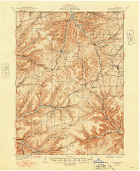
3 editions found
Other maps of this area

1899 · Gaines
USGS Topo · 1:62,500

1900 · Gaines
USGS Topo · 1:62,500

1925 · Belmont
USGS Topo · 1:62,500

1926 · Wellsville
USGS Topo · 1:62,500

1926 · Greenwood
USGS Topo · 1:62,500

1932 · Genesee
USGS Topo · 1:62,500

1934 · Coudersport
USGS Topo · 1:48,000

1938 · Coudersport
USGS Topo · 1:62,500

1939 · Belmont
USGS Topo · 1:62,500

1947 · Conrad
USGS Topo · 1:62,500