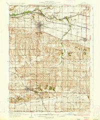
1934 Map of Geneseo
USGS Topo · Published 1934About this map
Geneseo serves as the focal point of this 1934 Henry County study, where the Chicago Rock Island and Pacific railroad tracks bisect the landscape between the Green River and the Mississippi River and Canal. The map reveals a highly developed rural infrastructure defined by an exceptional density of country schools, including Munson Center Sch, Dublin Sch, and Wildermuth Sch, illustrating the educational network required for a distributed farming population. In the southern portion of the sheet, Cambridge and its Cambridge Union Sch anchor a terrain carved by the Edwards River. The inclusion of the Geneseo Outing Club near the canal and several community hubs like Burns Community Ch highlights the social fabric of the Illinois prairie before the consolidation of rural districts and the modernization of the local highway system.
Find a feature on this map
71 named features on this map. Tap any name to fly to it.
Don’t see what you’re looking for? This feature index may not catch every label — zoom into the map to look around manually.
Map Details
Editions of this 1934 Geneseo Map
2 editions found
Other maps of this area

1892 · Leclaire
USGS Topo · 1:62,500

1893 · Leclaire
USGS Topo · 1:62,500

1899 · Clinton
USGS Topo · 1:125,000

1929 · Annawan
USGS Topo · 1:62,500

1931 · Galva
USGS Topo · 1:48,000

1932 · Prophetstown
USGS Topo · 1:48,000

1932 · Annawan
USGS Topo · 1:62,500

1934 · Geneseo
USGS Topo · 1:62,500

1936 · Prophetstown
USGS Topo · 1:62,500

1937 · Orion
USGS Topo · 1:62,500