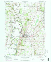
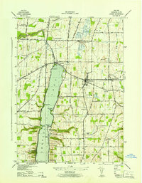
1950 Map of Geneseo
USGS Topo · Published 1978About this map
The meandering Genesee River carves a deep valley through this mid-century landscape, separating the village of Geneseo from the western settlements of Cuylerville and Piffard. The map captures a moment when the regional economy was shifting, marked by a Salt Mine (Inactive) and the presence of the Genesee and Wyoming RR. Education and institutional growth are prominent, centered on the State University of New York at Geneseo campus and the nearby Armory. Natural features such as the dramatic Fall Brook Falls and Triphammer Falls highlight the area's characteristic gorges. Local history is well-preserved through detailed locations for the Temple Hill Cemetery and St Marys Cemetery, while recreational spaces like the Wadsworth Boy Scout Camp and Livingston Country Club illustrate the community's mid-century social fabric.
Find a feature on this map
46 named features on this map. Tap any name to fly to it.
Don’t see what you’re looking for? This feature index may not catch every label — zoom into the map to look around manually.
Map Details
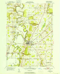
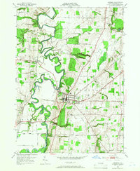
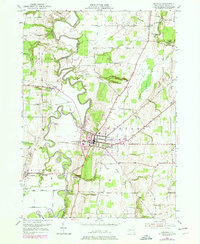
Editions of this 1950 Geneseo Map
4 editions found
Other maps of this area

1901 · Honeoye
USGS Topo · 1:62,500

1902 · Wayland
USGS Topo · 1:62,500

1904 · Wayland
USGS Topo · 1:62,500

1904 · Caledonia
USGS Topo · 1:62,500

1904 · Honeoye
USGS Topo · 1:62,500

1905 · Nunda
USGS Topo · 1:62,500

1934 · Rush
USGS Topo · 1:24,000

1942 · Conesus
USGS Topo · 1:31,680
1942 · Livonia
USGS Topo · 1:31,680

1943 · Mount Morris
USGS Topo · 1:24,000