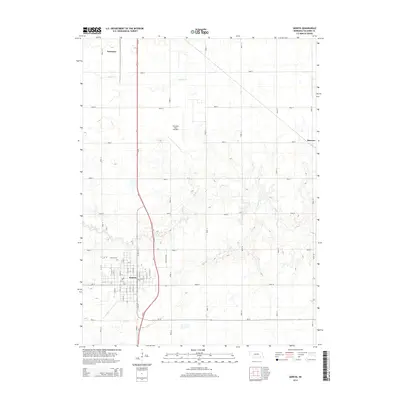
2014 Map of Geneva
USGS Topo · Published 2014About this map
Geneva serves as the primary hub of this eastern Nebraska landscape, characterized by a structured grid of rural roads and the meandering courses of Turkey Cr and Indian Cr. The town's layout is meticulously detailed, showing the intersection of Us-81 and Ne-41 alongside local streets such as N 1st St and S 6th St. Just northwest of the town center lies the Geneva Cem, a significant site for local family history and genealogical research.
Find a feature on this map
51 named features on this map. Tap any name to fly to it.
Don’t see what you’re looking for? This feature index may not catch every label — zoom into the map to look around manually.
Map Details
Editions of this 2014 Geneva Map
This is the sole edition of this map. No revisions or reprints were ever made.
Other maps of this area
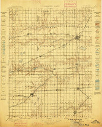
1898 · York
USGS Topo · 1:125,000
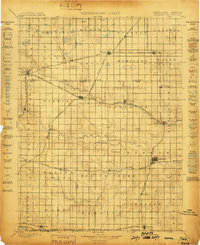
1898 · Hebron
USGS Topo · 1:125,000
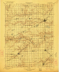
1899 · York
USGS Topo · 1:125,000
1955 · Lincoln
USGS Topo · 1:250,000
1957 · Lincoln
USGS Topo · 1:250,000
1958 · Lincoln
USGS Topo · 1:250,000
1961 · Ohiowa
USGS Topo · 1:24,000
1969 · Geneva
USGS Topo · 1:24,000
1969 · Fairmont
USGS Topo · 1:24,000
1969 · Grafton
USGS Topo · 1:24,000