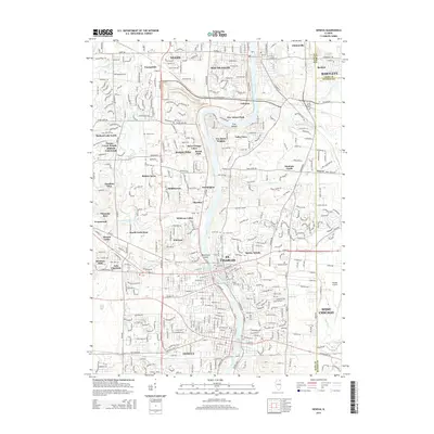
2015 Map of Geneva
USGS Topo · Published 2015About this map
The Fox River corridor serves as the central spine of this 2015 survey, anchoring the historic communities of St. Charles, Geneva, and South Elgin. This portion of the Fox River Valley illustrates a landscape where early settlement patterns and modern suburban development converge. Notable historical landmarks like Dunham Castle stand east of the river, while a network of cemeteries including Oak Hill Cem, Union Cem, and Prairie Cem provide valuable points of reference for genealogists tracing local families.
Find a feature on this map
62 named features on this map. Tap any name to fly to it.
Don’t see what you’re looking for? This feature index may not catch every label — zoom into the map to look around manually.
Map Details
Editions of this 2015 Geneva Map
This is the sole edition of this map. No revisions or reprints were ever made.
Other maps of this area

1908 · Wheaton
USGS Topo · 1:62,500

1923 · Barrington
USGS Topo · 1:62,500

1925 · Elgin
USGS Topo · 1:62,500

1932 · Geneva
USGS Topo · 1:62,500

1935 · Barrington
USGS Topo · 1:62,500

1940 · Elgin
USGS Topo · 1:62,500

1948 · Wheaton
USGS Topo · 1:62,500

1948 · Geneva
USGS Topo · 1:62,500

1949 · Geneva
USGS Topo · 1:24,000

1950 · Aurora North
USGS Topo · 1:24,000