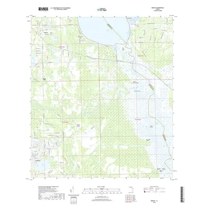
2018 Map of Geneva
USGS Topo · Published 2018About this map
The settlement of Geneva and the surrounding basin of the Saint Johns River define this landscape along the boundary of Seminole and Volusia counties. This 2018 survey reveals a territory where water and history converge, from the expansive waters of Lake Harney and the braided channels of Puzzle Lake to the meandering course of the Econlockhatchee River. The area is notably dense with archaeological sites, including the Noah Mound, Buck Point Mound, and Moccasin Mound, indicating a long history of human presence near the riverbanks.
Find a feature on this map
69 named features on this map. Tap any name to fly to it.
Don’t see what you’re looking for? This feature index may not catch every label — zoom into the map to look around manually.
Map Details
Editions of this 2018 Geneva Map
This is the sole edition of this map. No revisions or reprints were ever made.
Other maps of this area

1949 · Osceola
USGS Topo · 1:24,000

1950 · Maytown
USGS Topo · 1:24,000

1950 · Aurantia
USGS Topo · 1:24,000

1953 · Geneva
USGS Topo · 1:24,000

1953 · Titusville SW
USGS Topo · 1:24,000

1953 · Oviedo SW
USGS Topo · 1:24,000

1953 · Bithlo
USGS Topo · 1:24,000

1955 · Orlando
USGS Topo · 1:250,000

1956 · Oviedo
USGS Topo · 1:24,000

1957 · Orlando
USGS Topo · 1:250,000