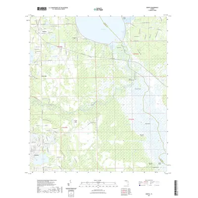
2021 Map of Geneva
USGS Topo · Published 2021About this map
Geneva and Chuluota anchor this portion of Seminole County, where the interior wetlands and river systems dominate the geography. The map traces the winding course of the Econlockhatchee River and its interaction with the St Johns River Blueway Trl, revealing a landscape heavily defined by its natural drainage patterns, including Puzzle Lake and Gopher Swamp. Historical markers are evident in the numerous named earthworks like Noah Mound, Saddle Mound, and Heiffer Mound, which point to ancient indigenous occupation along these waterways.
Find a feature on this map
86 named features on this map. Tap any name to fly to it.
Don’t see what you’re looking for? This feature index may not catch every label — zoom into the map to look around manually.
Map Details
Editions of this 2021 Geneva Map
This is the sole edition of this map. No revisions or reprints were ever made.
Other maps of this area

1949 · Osceola
USGS Topo · 1:24,000

1950 · Maytown
USGS Topo · 1:24,000

1950 · Aurantia
USGS Topo · 1:24,000

1953 · Geneva
USGS Topo · 1:24,000

1953 · Titusville SW
USGS Topo · 1:24,000

1953 · Oviedo SW
USGS Topo · 1:24,000

1953 · Bithlo
USGS Topo · 1:24,000

1955 · Orlando
USGS Topo · 1:250,000

1956 · Oviedo
USGS Topo · 1:24,000

1957 · Orlando
USGS Topo · 1:250,000