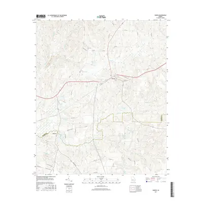
2017 Map of Geneva
USGS Topo · Published 2017About this map
Geneva sits as a primary settlement in Talbot County, located near the junction where S Fork Upatoi Cr and several local routes converge. The landscape is heavily defined by its hydrography, featuring a high concentration of private or named impoundments such as Hellens Lake, Benson Lake, and Meadows Lake. To the south, the village of Juniper marks the border between Talbot and Marion counties, situated along the banks of Juniper Lake and the winding Little Juniper Cr. This 2017 survey reveals a rural infrastructure where family-named landmarks and cemeteries, such as Cobb Cem and Geneva Cem, remain prominent. The transition between the Upatoi and Juniper creek systems creates a topography of interconnected stream valleys and ridges, traced by roads like Old Hwy 96 and Woodyard Rd that connect these small communities.
Find a feature on this map
58 named features on this map. Tap any name to fly to it.
Don’t see what you’re looking for? This feature index may not catch every label — zoom into the map to look around manually.
Map Details
Editions of this 2017 Geneva Map
This is the sole edition of this map. No revisions or reprints were ever made.
Other maps of this area
1907 · Talbotton
USGS Topo · 1:125,000
1949 · Upatoi
USGS Topo · 1:24,000
1949 · Buena Vista NW
USGS Topo · 1:24,000
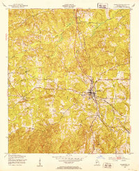
1950 · Talbotton
USGS Topo · 1:24,000
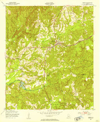
1950 · Geneva
USGS Topo · 1:24,000
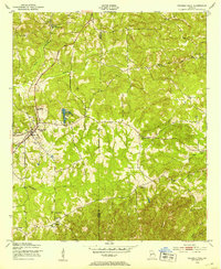
1950 · Waverly Hall
USGS Topo · 1:24,000
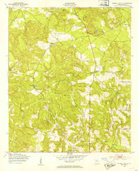
1950 · Buena Vista NE
USGS Topo · 1:24,000
1950 · Buena Vista
USGS Topo · 1:62,500
1950 · Talbotton
USGS Topo · 1:62,500
1955 · Talbotton
USGS Topo · 1:24,000