Loading...
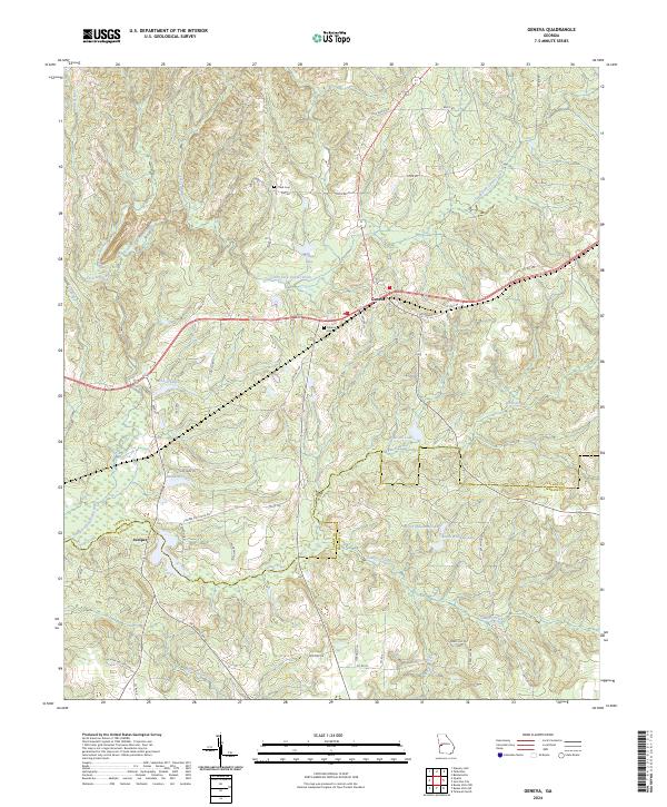
Loading map...2024 Map of Geneva
USGS Topo · Published 2024About this map
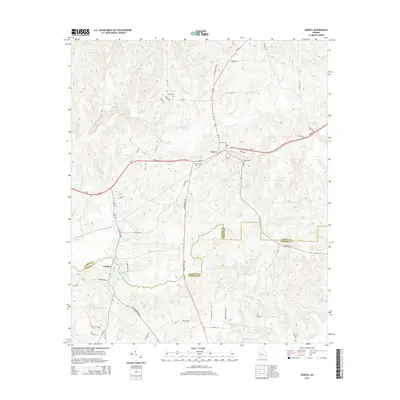
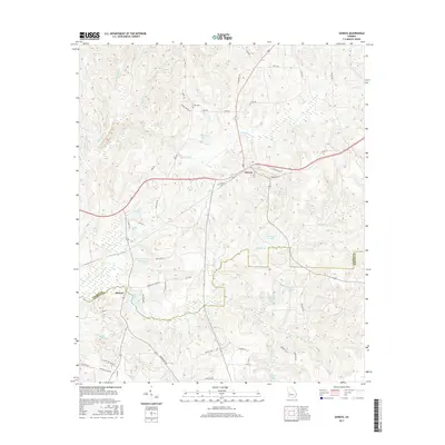
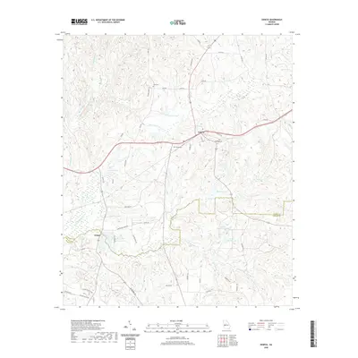
Geneva sits at the intersection of local history and modern hydrography in this section of Georgia. The settlement is positioned along the boundary dividing Talbot County and Marion County, a region defined by its intricate drainage patterns. Water flows through a complex network of branches including Jack Branch, Dry Creek, and Blackman Branch, all eventually feeding into the prominent Upatoi Creek and South Fork Upatoi Creek.
Find a feature on this map
55 named features on this map. Tap any name to fly to it.
Don’t see what you’re looking for? This feature index may not catch every label — zoom into the map to look around manually.
Map Details
Date Portrayed2024
Date Published2024
PublisherU.S. Geological Survey
Map TypeTopographic
Scale1:24,000
Physical Dimensions24 x 29 inches
Editions of this 2024 Geneva Map
This is the sole edition of this map. No revisions or reprints were ever made.
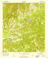
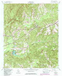
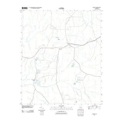
Historical Maps of Geneva Through Time
7 maps found
Featured Locations
Source Details
SourceU.S. Geological Survey
CopyrightPublic Domain