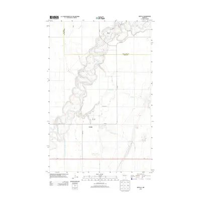
2013 Map of Gentilly
USGS Topo · Published 2013About this map
The meandering Red Lake River dominates this portion of Polk and Red Lake Counties, carving deep loops into the glacial plains of northern Minnesota. This landscape is defined by the intersection of water and agriculture, where the main river channel is joined by the Black River and the winding Gentilly River. Small settlements such as Gentilly and Huot serve as local anchors, each preserved with its respective spiritual and genealogical landmarks: Saint Peters Cem and Huot Cem.
Find a feature on this map
16 named features on this map. Tap any name to fly to it.
Don’t see what you’re looking for? This feature index may not catch every label — zoom into the map to look around manually.
Map Details
Editions of this 2013 Gentilly Map
This is the sole edition of this map. No revisions or reprints were ever made.
Other maps of this area

1918 · Red Lake Falls
USGS Topo · 1:62,500

1919 · Beltrami
USGS Topo · 1:62,500

1952 · Red Lake Falls
USGS Topo · 1:62,500

1952 · Grand Forks
USGS Topo · 1:250,000

1953 · Crookston
USGS Topo · 1:62,500

1956 · Grand Forks
USGS Topo · 1:250,000

1964 · Greenview
USGS Topo · 1:24,000

1965 · Dugdale
USGS Topo · 1:24,000

1965 · Harold
USGS Topo · 1:24,000

1966 · Grand Forks
USGS Topo · 1:250,000