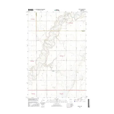
2016 Map of Gentilly
USGS Topo · Published 2016About this map
The Red Lake River meanders dramatically across this Northwest Minnesota landscape, creating a series of complex oxbows and loops that define the local topography. At the southern bend of one of these great curves lies the settlement of Gentilly, situated near the confluence where the Gentilly River meets the larger waterway. The map captures a rural community structured by the Public Land Survey System, with gravel roads and township lines intersecting the natural drainage patterns of Kripple Cr and the Black River. Local history and genealogy are anchored by the Saint Peters Cem in Gentilly and Huot Cem to the north in the small community of Huot. This 2016 survey also reveals the extensive hydraulic engineering of the region, specifically County Ditch Number One Hundred Fiftyeight, which illustrates how the prairie land was managed for agricultural use in Polk and Red Lake counties.
Find a feature on this map
40 named features on this map. Tap any name to fly to it.
Don’t see what you’re looking for? This feature index may not catch every label — zoom into the map to look around manually.
Map Details
Editions of this 2016 Gentilly Map
This is the sole edition of this map. No revisions or reprints were ever made.
Other maps of this area
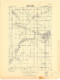
1918 · Red Lake Falls
USGS Topo · 1:62,500
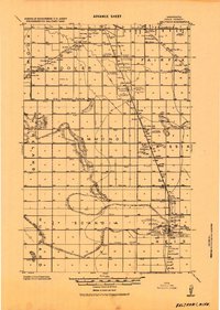
1919 · Beltrami
USGS Topo · 1:62,500
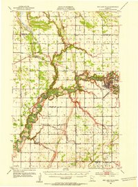
1952 · Red Lake Falls
USGS Topo · 1:62,500

1952 · Grand Forks
USGS Topo · 1:250,000
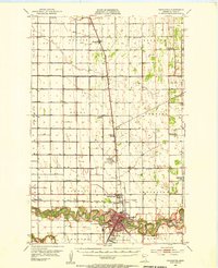
1953 · Crookston
USGS Topo · 1:62,500

1956 · Grand Forks
USGS Topo · 1:250,000
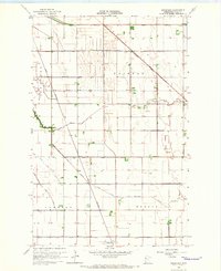
1964 · Greenview
USGS Topo · 1:24,000
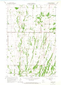
1965 · Dugdale
USGS Topo · 1:24,000
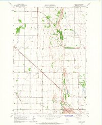
1965 · Harold
USGS Topo · 1:24,000
1966 · Grand Forks
USGS Topo · 1:250,000