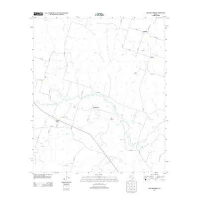
2012 Map of Gentrys Mill
USGS Topo · Published 2012About this map
Leon River winds through the central portion of this Hamilton County landscape, serving as the primary drainage for a network of creeks including Warren Cr and Pecan Cr. The settlement pattern is characterized by small, dispersed rural communities such as Gentrys Mill, Springtown, Sunshine, and Spurlin. These locales are connected by an extensive system of county roads that navigate the local topography, including the distinct terrain of Owl Hollow.
Find a feature on this map
45 named features on this map. Tap any name to fly to it.
Don’t see what you’re looking for? This feature index may not catch every label — zoom into the map to look around manually.
Map Details
Editions of this 2012 Gentrys Mill Map
This is the sole edition of this map. No revisions or reprints were ever made.
Other maps of this area
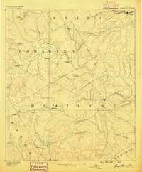
1888 · Hamilton
USGS Topo · 1:125,000
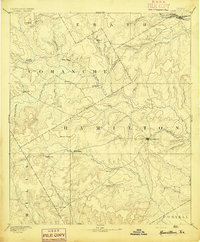
1894 · Hamilton
USGS Topo · 1:125,000

1954 · Brownwood
USGS Topo · 1:250,000
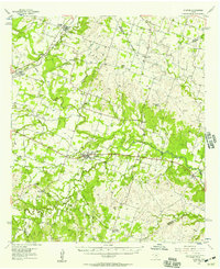
1956 · Gustine
USGS Topo · 1:62,500
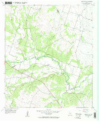
1956 · Gentrys Mill
USGS Topo · 1:24,000
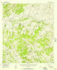
1956 · Pottsville
USGS Topo · 1:62,500
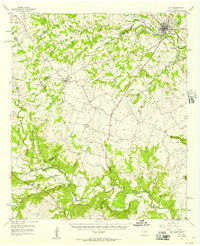
1956 · Hico
USGS Topo · 1:62,500
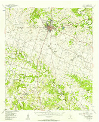
1956 · Hamilton
USGS Topo · 1:62,500
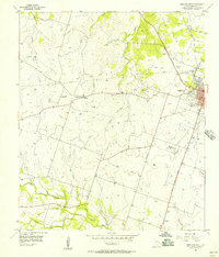
1956 · Hamilton West
USGS Topo · 1:24,000
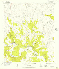
1956 · Eidson Lake
USGS Topo · 1:24,000