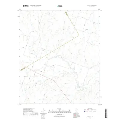
2019 Map of Gentrys Mill
USGS Topo · Published 2019About this map
The Leon River meanders across this rural Texas landscape where Hamilton and Comanche counties meet. This 2019 survey captures a region defined by its complex drainage network, where numerous watercourses like Warren Cr and Rocky Cr carve through the terrain, leading toward significant topographic features such as Owl Hollow. The area is predominantly agricultural and sparsely settled, with a road network consisting largely of county routes like Co RD 103 and Sunshine Rd that link isolated homesteads and local landmarks.
Find a feature on this map
41 named features on this map. Tap any name to fly to it.
Don’t see what you’re looking for? This feature index may not catch every label — zoom into the map to look around manually.
Map Details
Editions of this 2019 Gentrys Mill Map
This is the sole edition of this map. No revisions or reprints were ever made.
Other maps of this area
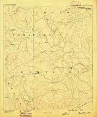
1888 · Hamilton
USGS Topo · 1:125,000
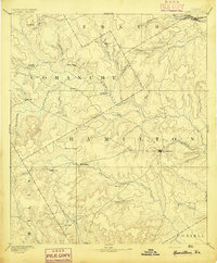
1894 · Hamilton
USGS Topo · 1:125,000

1954 · Brownwood
USGS Topo · 1:250,000
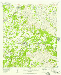
1956 · Gustine
USGS Topo · 1:62,500
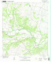
1956 · Gentrys Mill
USGS Topo · 1:24,000
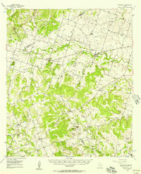
1956 · Pottsville
USGS Topo · 1:62,500
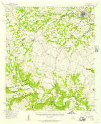
1956 · Hico
USGS Topo · 1:62,500
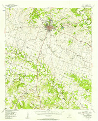
1956 · Hamilton
USGS Topo · 1:62,500
1956 · Hamilton West
USGS Topo · 1:24,000
1956 · Eidson Lake
USGS Topo · 1:24,000