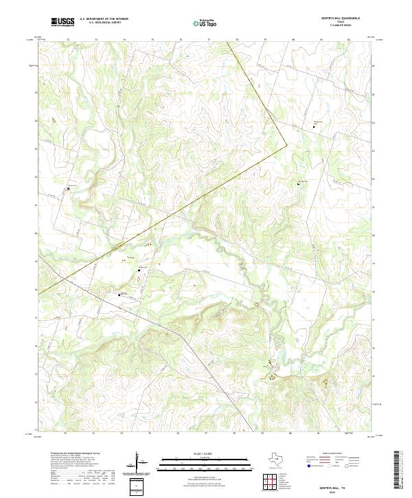
2022 Map of Gentrys Mill
USGS Topo · Published 2022About this map
The Leon River and its numerous tributaries dominate this landscape on the border of Comanche and Hamilton counties. This area is characterized by a high density of rural family burial grounds, providing a significant resource for genealogical research in this portion of Texas. Family names are preserved through sites like Tillinghouse Cem, Barnett Cem, and Fequa Cem, as well as the historic Gentrys Mill Cem.
Find a feature on this map
42 named features on this map. Tap any name to fly to it.
Don’t see what you’re looking for? This feature index may not catch every label — zoom into the map to look around manually.
Map Details
Editions of this 2022 Gentrys Mill Map
This is the sole edition of this map. No revisions or reprints were ever made.
Other maps of this area

1888 · Hamilton
USGS Topo · 1:125,000

1894 · Hamilton
USGS Topo · 1:125,000

1954 · Brownwood
USGS Topo · 1:250,000

1956 · Gustine
USGS Topo · 1:62,500

1956 · Gentrys Mill
USGS Topo · 1:24,000

1956 · Pottsville
USGS Topo · 1:62,500

1956 · Hico
USGS Topo · 1:62,500

1956 · Hamilton
USGS Topo · 1:62,500

1956 · Hamilton West
USGS Topo · 1:24,000
1956 · Eidson Lake
USGS Topo · 1:24,000