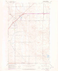
1966 Map of George
USGS Topo · Published 1978About this map
George stands as a primary focal point in this central Washington landscape, where mid-century engineering defines the agricultural potential of the region. The map illustrates a complex water management system essential for local irrigation, featuring the West Canal, a prominent Siphon, and an Aqueduct. These features, alongside the Frenchman Springs Pumping Plant, show how the arid terrain was transformed for cultivation. To the north, the small bodies of George Lake and Martha Lake provide a contrast to the geometric grid of roads like Baseline Road and Adams Road. This 1966 survey, with 1970s revisions, documents the early infrastructure of the area, including the Burke Substa and specialized sites like a Gravel Pit and Borrow Pit, which likely supported the construction of the intersecting highways and irrigation works that shaped the local economy.
Find a feature on this map
17 named features on this map. Tap any name to fly to it.
Don’t see what you’re looking for? This feature index may not catch every label — zoom into the map to look around manually.
Map Details
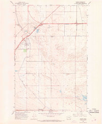
Editions of this 1966 George Map
2 editions found
Other maps of this area

1909 · Quincy
USGS Topo · 1:62,500

1910 · Quincy
USGS Topo · 1:62,500

1910 · Winchester
USGS Topo · 1:62,500

1911 · Red Rock
USGS Topo · 1:62,500

1912 · Beverly
USGS Topo · 1:62,500

1950 · Smyrna
USGS Topo · 1:62,500

1951 · Smyrna
USGS Topo · 1:62,500

1953 · Walla Walla
USGS Topo · 1:250,000

1953 · Ritzville
USGS Topo · 1:250,000

1954 · Beverly NE
USGS Topo · 1:24,000