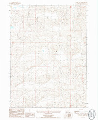
1986 Map of George Lake SE
USGS Topo · Published 1986About this map
The Grant County Sandhills appear in their late-twentieth-century state in this 1980s topographical record. The landscape is defined by the complex, undulating dune topography characteristic of the Nebraska cattle country, where vast tracts of open range are managed from isolated outposts. The Lowe Ranch serves as the primary named landmark on this sheet, anchoring a network of unimproved roads and four-wheel-drive trails that navigate the valleys between the high dunes. This survey captures the rural infrastructure of the period, depicting the essential water sources and specialized trail networks required for ranching in the high plains. The transition between Townships 22 and 21 North and Ranges 39 and 38 West provides the surveying framework for this remote section of the Nebraska interior.
Find a feature on this map
3 named features on this map. Tap any name to fly to it.
Don’t see what you’re looking for? This feature index may not catch every label — zoom into the map to look around manually.
Map Details
Editions of this 1986 George Lake SE Map
This is the sole edition of this map. No revisions or reprints were ever made.
Other maps of this area

1948 · George Lake
USGS Topo · 1:62,500

1948 · Spring Valley
USGS Topo · 1:62,500

1949 · Arthur
USGS Topo · 1:62,500

1950 · Spring Valley
USGS Topo · 1:62,500

1950 · Velma
USGS Topo · 1:62,500

1950 · George Lake
USGS Topo · 1:62,500

1950 · Arthur
USGS Topo · 1:62,500

1954 · North Platte
USGS Topo · 1:250,000

1956 · North Platte
USGS Topo · 1:250,000

1957 · North Platte
USGS Topo · 1:250,000