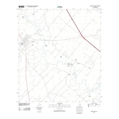
2010 Map of George West
USGS Topo · Published 2010About this map
George West serves as the primary hub in this South Texas landscape, where the Nueces River winds through a series of named drainages and lowlands. Local history is deeply rooted in the several burial grounds found here, including the Old Gussettville Cemetery and the nearby Gussettville Cemetery, which sit near the riverbanks east of the main town. To the west, Saint George Cemetery and the Live Oak County Airport flank the settlement center, while smaller communities like River Creek Acres and Mikeska appear as residential clusters along the rural road network.
Find a feature on this map
44 named features on this map. Tap any name to fly to it.
Don’t see what you’re looking for? This feature index may not catch every label — zoom into the map to look around manually.
Map Details
Editions of this 2010 George West Map
This is the sole edition of this map. No revisions or reprints were ever made.
Other maps of this area

1920 · Mikeska
USGS Topo · 1:125,000

1925 · Oakville No. 4
USGS Topo · 1:48,000

1925 · Mathis No. 2
USGS Topo · 1:48,000

1927 · Mathis
USGS Topo · 1:62,500

1927 · Oakville
USGS Topo · 1:62,500

1953 · Crystal City
USGS Topo · 1:250,000

1953 · Beeville
USGS Topo · 1:250,000

1954 · Fleming
USGS Topo · 1:62,500

1954 · Mathis
USGS Topo · 1:62,500

1955 · Crystal City
USGS Topo · 1:250,000