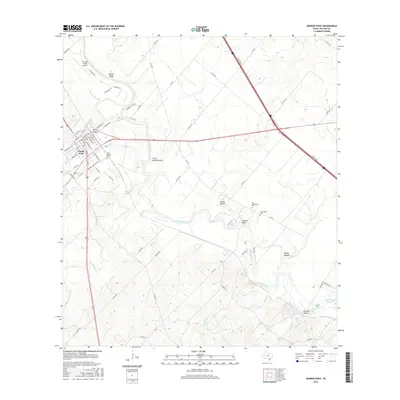
2016 Map of George West
USGS Topo · Published 2016About this map
The Nueces River winds through the heart of this Live Oak County landscape, shaping a terrain defined by deep drainages like Gamble Gully and Little Gamble Gully. In the northwest, the town of George West serves as a central hub, its street grid reaching toward the Live Oak County Airport. To the east and south, the land transitions into a series of named breaks including Ramie Hollow and Halley Hollow, leading toward the upper reaches of Lake Corpus Christi. Genealogists will find significant value in the proximity of several burial grounds, notably the Gussettville Cem and the Old Gussettville Cem, which sit near a sharp bend in the river. This alignment of historic cemeteries and river crossings illustrates the early settlement patterns of the region prior to modern highway developments like N Hwy 37 Acc.
Find a feature on this map
71 named features on this map. Tap any name to fly to it.
Don’t see what you’re looking for? This feature index may not catch every label — zoom into the map to look around manually.
Map Details
Editions of this 2016 George West Map
This is the sole edition of this map. No revisions or reprints were ever made.
Other maps of this area
1920 · Mikeska
USGS Topo · 1:125,000
1925 · Oakville No. 4
USGS Topo · 1:48,000
1925 · Mathis No. 2
USGS Topo · 1:48,000
1927 · Mathis
USGS Topo · 1:62,500
1927 · Oakville
USGS Topo · 1:62,500
1953 · Crystal City
USGS Topo · 1:250,000

1953 · Beeville
USGS Topo · 1:250,000
1954 · Fleming
USGS Topo · 1:62,500
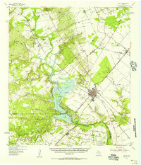
1954 · Mathis
USGS Topo · 1:62,500
1955 · Crystal City
USGS Topo · 1:250,000