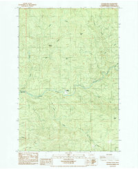
1985 Map of Georges Peak
USGS Topo · Published 1985About this map
The Kalama River winds through this heavily forested portion of Cowlitz County, serving as the central drainage for a landscape defined by high ridges and steep drainages. In the mid-1980s, human activity in this area was concentrated around small outposts like Camp Kalama and Pigeon Springs, as well as a network of private timber roads and service features like the Borrow Pit near the riverbank. Prominent summits such as Georges Peak and Shelley Mountain dominate the northern terrain, while the southern reaches are bisected by Carson Road and several tributary streams including Arnold Creek and Knowlton Creek. The presence of Bear Pass and Wilkinson Saddle indicates the primary routes used to navigate the high ground between the river valley and the surrounding peaks during this era of forest management.
Find a feature on this map
19 named features on this map. Tap any name to fly to it.
Don’t see what you’re looking for? This feature index may not catch every label — zoom into the map to look around manually.
Map Details
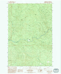
Editions of this 1985 Georges Peak Map
2 editions found
Other maps of this area

1919 · Mount St Helens
USGS Topo · 1:125,000

1940 · La Center
USGS Topo · 1:62,500

1941 · Yacolt
USGS Topo · 1:62,500

1943 · Pigeon Springs
USGS Topo · 1:62,500

1948 · Vancouver
USGS Topo · 1:250,000

1950 · Vancouver
USGS Topo · 1:250,000

1950 · Vancouver
USGS Topo · 1:250,000

1953 · Hoquiam
USGS Topo · 1:250,000

1953 · Pigeon Springs
USGS Topo · 1:62,500

1953 · Cougar
USGS Topo · 1:62,500