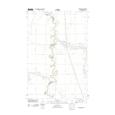
2013 Map of Georgetown
USGS Topo · Published 2013About this map
Georgetown anchors this 2013 survey of the fertile Red River Valley, situated at the confluence where the Buffalo River joins the highly meandered Red River of the North. The map illustrates the sharp jurisdictional divide between Clay and Cass counties, serving as the state line between Minnesota and North Dakota. This boundary is defined by the winding river channel, which creates intricate peninsulas of land as it snakes through the prairie. The settlement of Georgetown remains a small but distinct cluster of activity, centered around a local Po and a grid of streets including Mason St and Bridge St. Beyond the riverbanks, the landscape is dominated by an expansive network of rural roads and drainage infrastructure, such as County Ditch Number Twentythree B, reflecting the region's deep ties to industrial-scale agriculture. The primary transportation artery, Us-75, cuts a linear path through the eastern portion of the quadrangle, contrasting with the fluid, organic curves of the natural waterways.
Find a feature on this map
35 named features on this map. Tap any name to fly to it.
Don’t see what you’re looking for? This feature index may not catch every label — zoom into the map to look around manually.
Map Details
Editions of this 2013 Georgetown Map
This is the sole edition of this map. No revisions or reprints were ever made.
Other maps of this area
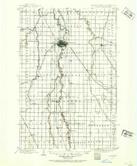
1895 · Fargo
USGS Topo · 1:125,000
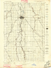
1897 · Fargo
USGS Topo · 1:125,000

1952 · Grand Forks
USGS Topo · 1:250,000

1953 · Fargo
USGS Topo · 1:250,000

1956 · Fargo
USGS Topo · 1:250,000

1956 · Grand Forks
USGS Topo · 1:250,000
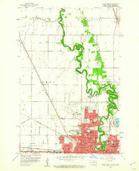
1959 · Fargo North
USGS Topo · 1:24,000
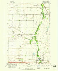
1959 · West Fargo
USGS Topo · 1:24,000
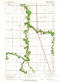
1963 · Georgetown
USGS Topo · 1:24,000
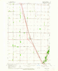
1963 · Argusville
USGS Topo · 1:24,000