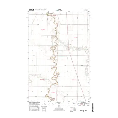
2016 Map of Georgetown
USGS Topo · Published 2016About this map
The Georgetown settlement sits near the eastern banks of the Red River of the North, serving as a focal point for this borderland geography between Clay County, Minnesota, and Cass County, North Dakota. The river's exceptionally tight, serpentine meanders create a complex boundary that shifts back and forth across the landscape, illustrating the natural hydrological complexity of the Red River Valley. This 2016 survey shows how water management remains central to the region, evidenced by the County Ditch Number Twentythree B and the confluence where the Buffalo River joins the main channel. South of the townsite, the Sheyenne River also enters the Red River from the west, highlighting the area as a significant hydrographic junction. The surrounding terrain is defined by a rigid grid of rural roads, including Mason St and numerous numbered township avenues, which contrast sharply with the erratic winding of the riverbanks.
Find a feature on this map
39 named features on this map. Tap any name to fly to it.
Don’t see what you’re looking for? This feature index may not catch every label — zoom into the map to look around manually.
Map Details
Editions of this 2016 Georgetown Map
This is the sole edition of this map. No revisions or reprints were ever made.
Other maps of this area
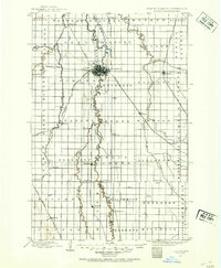
1895 · Fargo
USGS Topo · 1:125,000
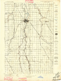
1897 · Fargo
USGS Topo · 1:125,000

1952 · Grand Forks
USGS Topo · 1:250,000

1953 · Fargo
USGS Topo · 1:250,000

1956 · Fargo
USGS Topo · 1:250,000

1956 · Grand Forks
USGS Topo · 1:250,000
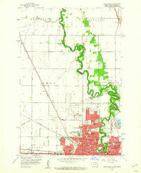
1959 · Fargo North
USGS Topo · 1:24,000
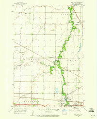
1959 · West Fargo
USGS Topo · 1:24,000
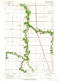
1963 · Georgetown
USGS Topo · 1:24,000
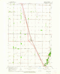
1963 · Argusville
USGS Topo · 1:24,000