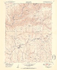
1949 Map of Georgetown
USGS Topo · Published 1954About this map
Georgetown and its surrounding gold country are documented here shortly after the Second World War, showing a landscape shaped by decades of hydraulic and hard-rock mining. The Middle Fork American River carves the northern boundary between Placer and El Dorado counties, with numerous river bars such as African Bar and Fords Bar indicating the area's rich prospecting history. The terrain is marked by family-named landmarks like Mameluke Hill, Buffalo Hill, and Shoemaker Hill, while the Georgetown Ditch underscores the hydraulic engineering required to move water across the Georgetown Divide.
Find a feature on this map
65 named features on this map. Tap any name to fly to it.
Don’t see what you’re looking for? This feature index may not catch every label — zoom into the map to look around manually.
Map Details
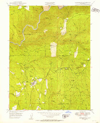
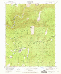
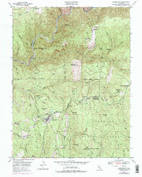
Editions of this 1949 Georgetown Map
4 editions found
Other maps of this area

1891 · Colfax
USGS Topo · 1:125,000

1891 · Placerville
USGS Topo · 1:125,000

1892 · Placerville
USGS Topo · 1:125,000

1892 · Colfax
USGS Topo · 1:125,000

1893 · Placerville
USGS Topo · 1:125,000

1894 · Colfax
USGS Topo · 1:125,000

1898 · Colfax
USGS Topo · 1:125,000

1900 · Colfax
USGS Topo · 1:125,000

1902 · Colfax
USGS Topo · 1:125,000

1938 · Colfax
USGS Topo · 1:125,000