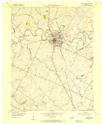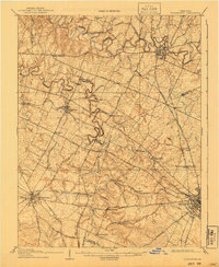
1908 Map of Georgetown
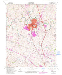
USGS Topo · Published 1940About this map
Georgetown, Versailles, and the northwestern outskirts of Lexington anchor this map of the Kentucky Bluegrass region during the early twentieth century. The landscape is defined by the winding meanders of South Elkhorn Creek and North Elkhorn Creek, which carve through a countryside heavily marked by a dense network of pikes and turnpikes. These roads, such as the Ironworks Pike and Leestown and Nashville Pike, connect a series of small rural settlements including Midway, Paynes Depot, and Donerail. The map reveals an era when four major railroads—the Southern RR, Louisville and Nashville RR, Cincinnati New Orleans and Texas Pacific RR, and Frankfort and Cincinnati RR—crisscrossed the terrain, supporting the agricultural and commercial hubs of Scott, Woodford, and Fayette counties. Local history details appear in labels for places like Great Crossing, Pisgah, and Little Georgetown.
Find a feature on this map
63 named features on this map. Tap any name to fly to it.
Don’t see what you’re looking for? This feature index may not catch every label — zoom into the map to look around manually.
Map Details
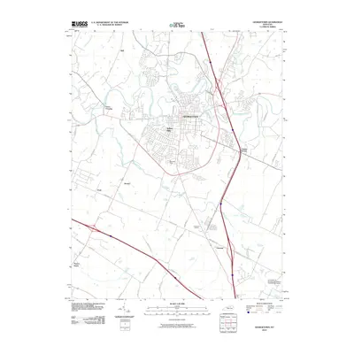
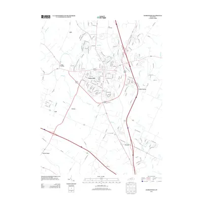
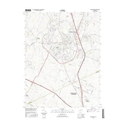
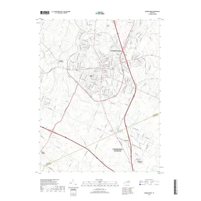
Editions of this 1908 Georgetown Map
2 editions found

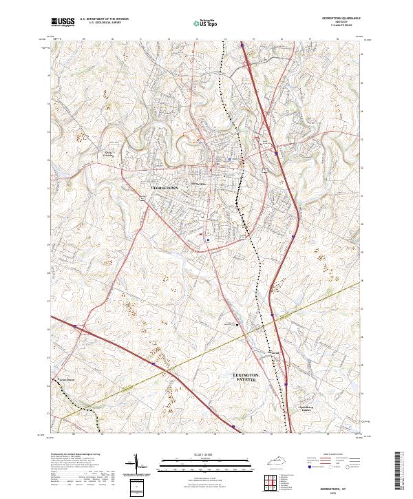
Historical Maps of Lexington Through Time
9 maps found