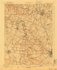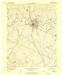
1954 Map of Georgetown
USGS Topo · Published 1955About this map
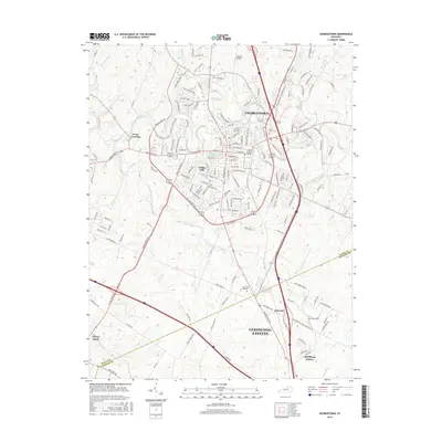
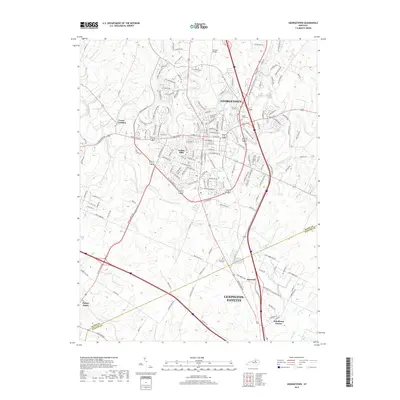
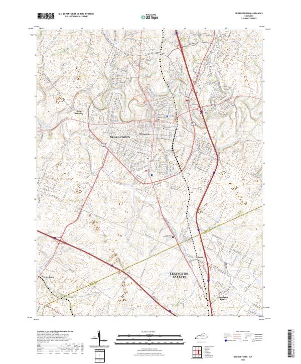
Georgetown serves as the focal point of this Bluegrass region survey, where the Georgetown College campus and the historic Cardome Academy anchor the local community. The landscape is defined by the winding course of North Elkhorn Creek and its many tributaries, including Cane Run and Dry Run. The transport network reveals a transition in Kentucky travel, showing the intersection of the Southern railroad and the Dixie Highway, alongside rural thoroughfares like Lemons Mill Road and Ironworks Road.
Find a feature on this map
32 named features on this map. Tap any name to fly to it.
Don’t see what you’re looking for? This feature index may not catch every label — zoom into the map to look around manually.
Map Details
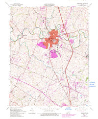
Editions of this 1954 Georgetown Map
This is the sole edition of this map. No revisions or reprints were ever made.
Historical Maps of Lexington Through Time
9 maps found