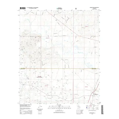
2015 Map of Georgetown
USGS Topo · Published 2015About this map
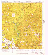
The Dugdemona River defines the central topography of this landscape, winding through a region where the pine-rich lands of the Kisatchie National Forest meet small rural settlements. In the south, Georgetown serves as a primary hub, marked by its local Georgetown Cem and a network of parish roads. The map illustrates a transition from the dense woods of the national forest to the dispersed communities of Zion, Curry, and Tansey. Local history is embedded in the road names themselves, with routes like Beulah Church Rd and the Little Mail Route Rd suggesting the path of 20th-century rural life and service. The drainage system is particularly intricate, with Mine Cr, Anderson Cr, and Bear Cr feeding into the larger river basin, creating a distinct pattern of wetlands and low-lying drainages typical of the north-central Louisiana landscape.
Find a feature on this map
70 named features on this map. Tap any name to fly to it.
Don’t see what you’re looking for? This feature index may not catch every label — zoom into the map to look around manually.
Map Details
Editions of this 2015 Georgetown Map
This is the sole edition of this map. No revisions or reprints were ever made.
Other maps of this area
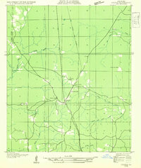
1932 · Colfax NE
USGS Topo · 1:31,680
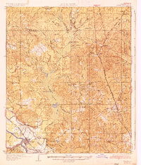
1936 · Colfax
USGS Topo · 1:62,500
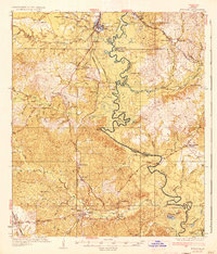
1936 · Pollock
USGS Topo · 1:62,500
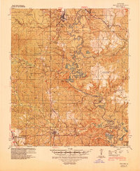
1941 · Pollock
USGS Topo · 1:62,500
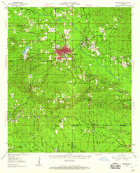
1950 · Winnfield
USGS Topo · 1:62,500
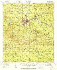
1951 · Winnfield
USGS Topo · 1:62,500

1953 · Alexandria
USGS Topo · 1:250,000
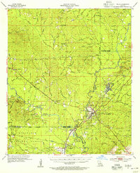
1954 · Tullos
USGS Topo · 1:62,500

1955 · Alexandria
USGS Topo · 1:250,000
1956 · Colfax
USGS Topo · 1:62,500