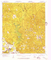
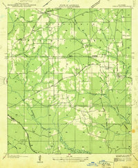
1956 Map of Colfax
USGS Topo · Published 1957About this map
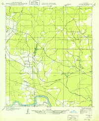
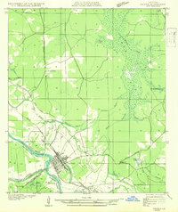
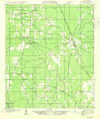
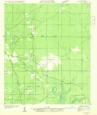
Colfax serves as the focal point for this mid-century survey of central Louisiana, situated along the Kansas City Southern railroad and the Red River. The map illustrates a landscape where small, family-centric landmarks such as Hebron Ch & Cem, Mt Bethel Ch & Cem, and Summerfield Sch anchor rural life. The extensive boundaries of the Kisatchie National Forest cover the eastern portion of the quadrangle, punctuated by numerous waterways like Latt Creek, Indian Creek, and Bayou Bourbe. Significant terrain features including Spanish Mound, Mosley Hill, and Mossy Ridge offer clues to the area's relief. Transport and industry are represented by the crossing of the T & P and L & A rail lines, which historically facilitated the timber and agriculture of Grant and Winn Parishes.
Find a feature on this map
78 named features on this map. Tap any name to fly to it.
Don’t see what you’re looking for? This feature index may not catch every label — zoom into the map to look around manually.
Map Details
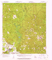
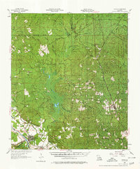
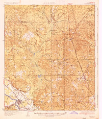
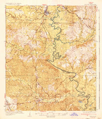
Editions of this 1956 Colfax Map
3 editions found
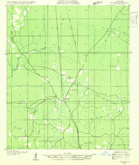
Other maps of this area
1932 · Colfax NE
USGS Topo · 1:31,680
1932 · Boyce NE
USGS Topo · 1:31,680
1932 · Colfax SW
USGS Topo · 1:31,680
1932 · Colfax SE
USGS Topo · 1:31,680
1932 · Colfax NW
USGS Topo · 1:31,680
1935 · Verda
USGS Topo · 1:31,680
1936 · Colfax
USGS Topo · 1:62,500
1936 · Pollock
USGS Topo · 1:62,500

1937 · Chopin NE
USGS Topo · 1:31,680

1937 · Aloha
USGS Topo · 1:31,680