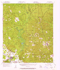
1956 Map of Colfax
USGS Topo · Published 1963About this map
Colfax and the surrounding terrain of the Kisatchie National Forest are defined by the convergence of river lowlands and timbered ridges. Situated along the Kansas City Southern and Red River and Gulf railroads, the area showcases a mid-century landscape of logging and rural settlement. Central to the map is Lake Latt, which drains south toward the Red River via a complex network including Rigolette Bayou and Bonaparte Creek. Local genealogy and community history are preserved through numerous landmarks like Zion Hill Ch, Hebron Ch Cem, and Fairfield Ch. Significant gravel operations and industrial sites such as Gravel Pits near Rock Hill and the Colfax Lookout Tower reflect the local economy’s reliance on the land's natural resources during this era of post-war development.
Find a feature on this map
85 named features on this map. Tap any name to fly to it.
Don’t see what you’re looking for? This feature index may not catch every label — zoom into the map to look around manually.
Map Details
Editions of this 1956 Colfax Map
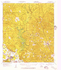
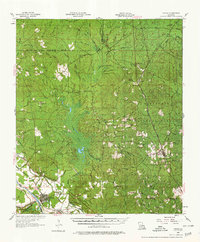
3 editions found
Other maps of this area

1932 · Colfax NE
USGS Topo · 1:31,680

1932 · Boyce NE
USGS Topo · 1:31,680

1932 · Colfax SW
USGS Topo · 1:31,680

1932 · Colfax SE
USGS Topo · 1:31,680

1932 · Colfax NW
USGS Topo · 1:31,680

1935 · Verda
USGS Topo · 1:31,680

1936 · Colfax
USGS Topo · 1:62,500

1936 · Pollock
USGS Topo · 1:62,500

1937 · Chopin NE
USGS Topo · 1:31,680

1937 · Aloha
USGS Topo · 1:31,680