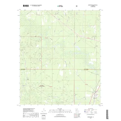
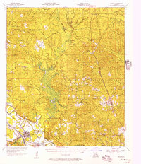
2018 Map of Georgetown
USGS Topo · Published 2018About this map
Georgetown anchors the southeastern corner of this central Louisiana landscape, where the boundary between Winn Parish and Grant Parish meets. The town's grid is concentrated near Old Hwy 165 N and the Georgetown Cemetery, serving as a gateway to the dense timberlands of the Kisatchie National Forest. The northern reach of the map is defined by the Pardon Hills and a network of parish roads that connect small settlements like Curry and Tansey.
Find a feature on this map
65 named features on this map. Tap any name to fly to it.
Don’t see what you’re looking for? This feature index may not catch every label — zoom into the map to look around manually.
Map Details
Editions of this 2018 Georgetown Map
This is the sole edition of this map. No revisions or reprints were ever made.
Other maps of this area
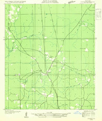
1932 · Colfax NE
USGS Topo · 1:31,680
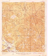
1936 · Colfax
USGS Topo · 1:62,500
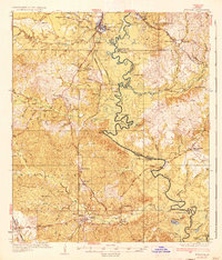
1936 · Pollock
USGS Topo · 1:62,500
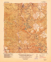
1941 · Pollock
USGS Topo · 1:62,500
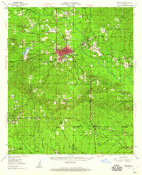
1950 · Winnfield
USGS Topo · 1:62,500
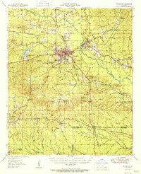
1951 · Winnfield
USGS Topo · 1:62,500

1953 · Alexandria
USGS Topo · 1:250,000
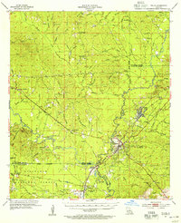
1954 · Tullos
USGS Topo · 1:62,500

1955 · Alexandria
USGS Topo · 1:250,000
1956 · Colfax
USGS Topo · 1:62,500