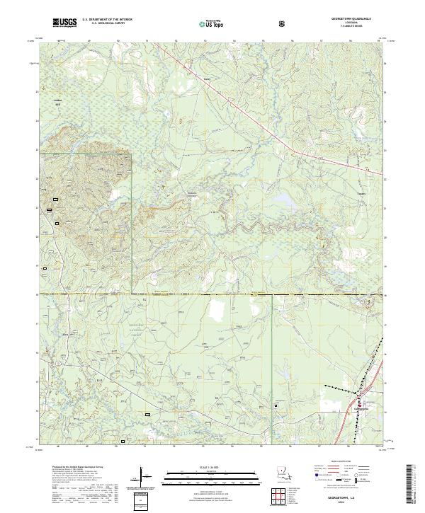
2024 Map of Georgetown
USGS Topo · Published 2024About this map
The Dugdemona River snakes through the center of this landscape, marking the traditional boundary between Winn Parish and Grant Parish. The area is characterized by a mix of creek bottoms and higher ground like the Pardon Hills, with a significant portion of the southern half dedicated to the Kisatchie National Forest. Small settlements such as Curry, Zion, and Jordan Hill are connected by a network of parish roads, reflecting a long-standing rural structure.
Find a feature on this map
66 named features on this map. Tap any name to fly to it.
Don’t see what you’re looking for? This feature index may not catch every label — zoom into the map to look around manually.
Map Details
Editions of this 2024 Georgetown Map
This is the sole edition of this map. No revisions or reprints were ever made.
Other maps of this area

1932 · Colfax NE
USGS Topo · 1:31,680

1936 · Colfax
USGS Topo · 1:62,500

1936 · Pollock
USGS Topo · 1:62,500

1941 · Pollock
USGS Topo · 1:62,500

1950 · Winnfield
USGS Topo · 1:62,500

1951 · Winnfield
USGS Topo · 1:62,500

1953 · Alexandria
USGS Topo · 1:250,000

1954 · Tullos
USGS Topo · 1:62,500

1955 · Alexandria
USGS Topo · 1:250,000
1956 · Colfax
USGS Topo · 1:62,500