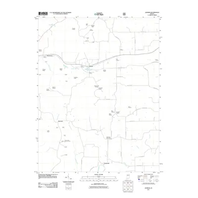
2011 Map of Georgia
USGS Topo · Published 2011About this map
Georgia and Moorestown anchor this Indiana landscape, where the terrain is defined by a dense network of ridges and hollows such as Burton Ridge, Toliver Ridge, and Tincher Hollow. The area south of Half Moon Lake is notably rich in family and community burial grounds, including the Independent Order of Odd Fellows Cemetery, Isom Cemetery, and Georgia Cemetery. These sites, along with others like Hall Cemetery and Tincher Cemetery, provide a significant record of the local families who settled this region of Orange County.
Find a feature on this map
61 named features on this map. Tap any name to fly to it.
Don’t see what you’re looking for? This feature index may not catch every label — zoom into the map to look around manually.
Map Details
Editions of this 2011 Georgia Map
This is the sole edition of this map. No revisions or reprints were ever made.
Other maps of this area

1934 · Bedford
USGS Topo · 1:48,000

1935 · Oolitic
USGS Topo · 1:48,000

1937 · Bedford
USGS Topo · 1:62,500

1942 · Oolitic
USGS Topo · 1:62,500

1948 · Huron
USGS Topo · 1:24,000

1949 · Georgia
USGS Topo · 1:24,000

1950 · Mitchell
USGS Topo · 1:24,000

1950 · Huron
USGS Topo · 1:24,000

1951 · Hillham
USGS Topo · 1:24,000

1951 · French Lick
USGS Topo · 1:24,000