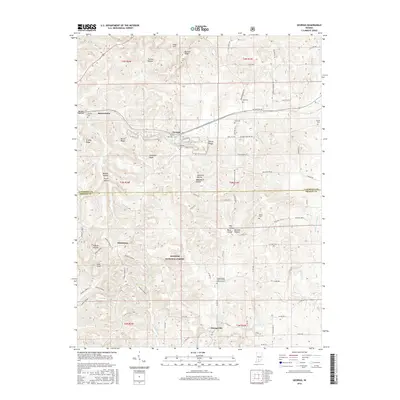
2016 Map of Georgia
USGS Topo · Published 2016About this map
Orangeville and Georgia anchor this 2016 study of the rural intersection between Lawrence and Orange counties. The landscape is defined by the subterranean influences of the Lost River, which meanders through the southern sections near Orangeville. This region is noted for its karst topography, where the drainage pattern includes numerous hollows like Wadsworth Hollow and Pruett Hollow, along with the distinctive Half Moon Lake.
Find a feature on this map
83 named features on this map. Tap any name to fly to it.
Don’t see what you’re looking for? This feature index may not catch every label — zoom into the map to look around manually.
Map Details
Editions of this 2016 Georgia Map
This is the sole edition of this map. No revisions or reprints were ever made.
Other maps of this area
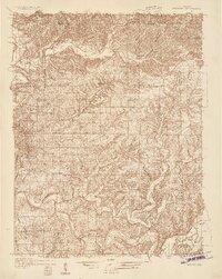
1934 · Bedford
USGS Topo · 1:48,000
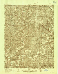
1935 · Oolitic
USGS Topo · 1:48,000
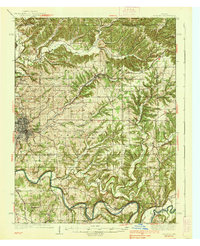
1937 · Bedford
USGS Topo · 1:62,500
1942 · Oolitic
USGS Topo · 1:62,500
1948 · Huron
USGS Topo · 1:24,000
1949 · Georgia
USGS Topo · 1:24,000
1950 · Mitchell
USGS Topo · 1:24,000
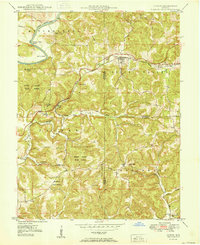
1950 · Huron
USGS Topo · 1:24,000
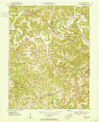
1951 · Hillham
USGS Topo · 1:24,000
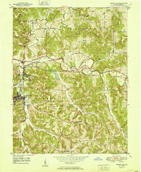
1951 · French Lick
USGS Topo · 1:24,000