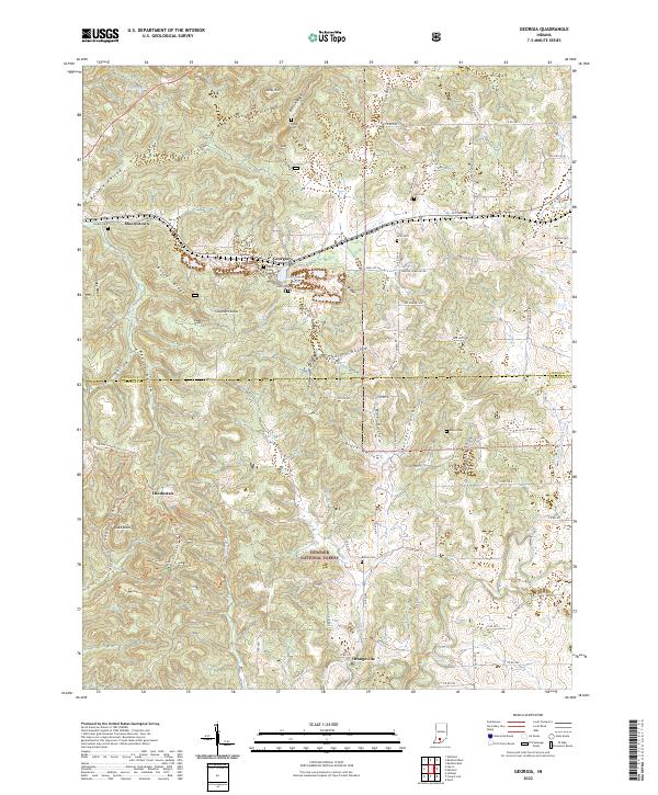
2022 Map of Georgia
USGS Topo · Published 2022About this map
Georgia and Moorestown sit along the winding Georgia Rd corridor in a landscape defined by deep ridges and hollows. The terrain transitions south from the Boster Ridge and Tolliver Ridge heights into the protected timberlands of the Hoosier National Forest. This modern 2022 survey captures the intricate drainage patterns of the region, from the northern Tincher Lake down toward the Orangeville area where the Lost River appears. Genealogists will find a wealth of burial sites including Georgia Cem, Bethel Cem, and Isom Cem tucked into the hills. The southern reaches of the map show the rural crossroads of Hindostan, while the rugged geography is marked by local landmarks like Gobblers Knob and Luke Knob.
Find a feature on this map
85 named features on this map. Tap any name to fly to it.
Don’t see what you’re looking for? This feature index may not catch every label — zoom into the map to look around manually.
Map Details
Editions of this 2022 Georgia Map
This is the sole edition of this map. No revisions or reprints were ever made.
Other maps of this area

1934 · Bedford
USGS Topo · 1:48,000

1935 · Oolitic
USGS Topo · 1:48,000

1937 · Bedford
USGS Topo · 1:62,500

1942 · Oolitic
USGS Topo · 1:62,500

1948 · Huron
USGS Topo · 1:24,000

1949 · Georgia
USGS Topo · 1:24,000

1950 · Mitchell
USGS Topo · 1:24,000

1950 · Huron
USGS Topo · 1:24,000

1951 · Hillham
USGS Topo · 1:24,000

1951 · French Lick
USGS Topo · 1:24,000