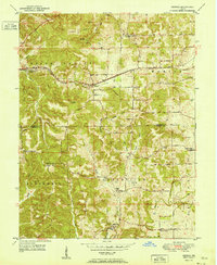
1951 Map of Georgia
USGS Topo · Published 1951About this map
The Baltimore and Ohio railroad corridor anchors the northern half of this landscape, passing through the small communities of Georgia and Moorestown. This 1951 survey reveals a rural landscape deeply defined by its complex topography and social institutions, with family-named ridges like Bozier Ridge and Toliver Ridge separating numerous hollows. The transition from Lawrence County into Orange County is marked by a high density of rural spiritual and educational landmarks, including Bonds Chapel, Spice Valley Ch, and the Hindostan Sch.
Find a feature on this map
50 named features on this map. Tap any name to fly to it.
Don’t see what you’re looking for? This feature index may not catch every label — zoom into the map to look around manually.
Map Details
Editions of this 1951 Georgia Map
This is the sole edition of this map. No revisions or reprints were ever made.
Other maps of this area
1934 · Bedford
USGS Topo · 1:48,000
1935 · Oolitic
USGS Topo · 1:48,000
1937 · Bedford
USGS Topo · 1:62,500
1942 · Oolitic
USGS Topo · 1:62,500
1948 · Huron
USGS Topo · 1:24,000
1949 · Georgia
USGS Topo · 1:24,000
1950 · Mitchell
USGS Topo · 1:24,000
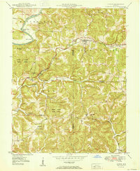
1950 · Huron
USGS Topo · 1:24,000
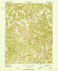
1951 · Hillham
USGS Topo · 1:24,000
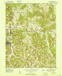
1951 · French Lick
USGS Topo · 1:24,000