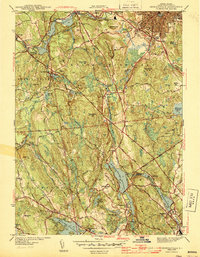
1943 Map of Georgiaville
USGS Topo · Published 1943About this map
Spragueville and Georgiaville anchor the southeastern portion of this landscape, where the Woonasquatucket Reservoir and Georgiaville Pond demonstrate the intensive water-power development characteristic of Rhode Island's industrial corridor. In the north, the Branch River winds through manufacturing villages like Slatersville and Forestdale, connected by the New York New Haven and Hartford Railroad. This 1940s topography captures a complex network of reservoirs and mill ponds, from Stillwater Reservoir to Woonsocket Reservoir No 3, which fueled the region's textile and tool-making heritage.
Find a feature on this map
66 named features on this map. Tap any name to fly to it.
Don’t see what you’re looking for? This feature index may not catch every label — zoom into the map to look around manually.
Map Details
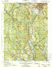
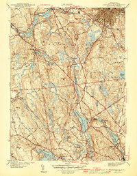
Editions of this 1943 Georgiaville Map
3 editions found
Other maps of this area

1886 · Blackstone
USGS Topo · 1:62,500

1887 · Franklin
USGS Topo · 1:62,500

1887 · Providence
USGS Topo · 1:62,500

1889 · Providence
USGS Topo · 1:62,500

1889 · Blackstone
USGS Topo · 1:62,500

1889 · Franklin
USGS Topo · 1:62,500

1889 · Burrillville
USGS Topo · 1:62,500

1893 · Franklin
USGS Topo · 1:62,500

1893 · Blackstone
USGS Topo · 1:62,500

1894 · Burrillville
USGS Topo · 1:62,500