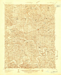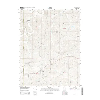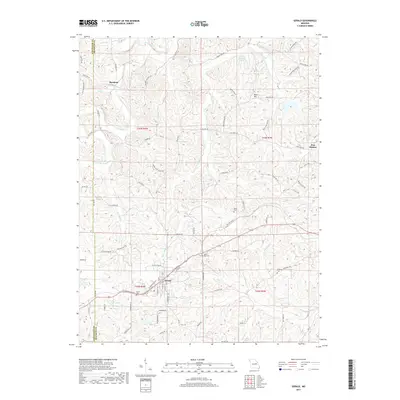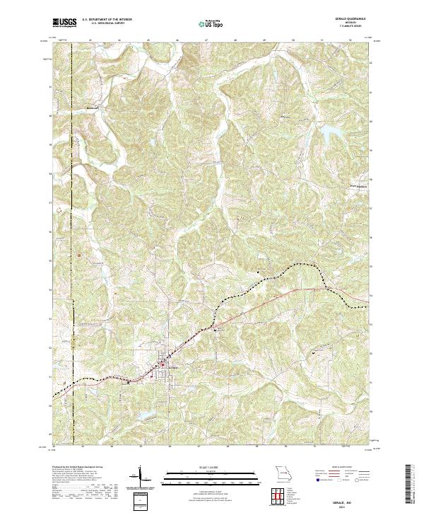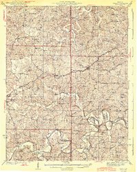
1944 Map of Gerald
USGS Topo · Published 1944About this map
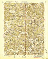
The Bourbeuse River snakes through the southern half of this mid-century landscape, carving deep bends like Bartel Bend and Kampschroeder Bend. This Missouri Ozark borderland is defined by its ridge-top settlements and a dense network of rural one-room schoolhouses, reflecting a deeply localized educational system before late-twentieth-century consolidation. Small crossroads and rail towns like Gerald, Rosebud, and Owensville line the path of the Chicago Rock Island and Pacific railroad, which served as the primary industrial artery for the region. Historical transit is further marked by the Old Springfield Road, tracing a path independent of the newer highway infrastructure. The map reveals the religious and social fabric of the era through numerous country churches, including St Jacobs Ch and New Salem Ch, often located near family landmarks like the Jacob Cem.
Find a feature on this map
68 named features on this map. Tap any name to fly to it.
Don’t see what you’re looking for? This feature index may not catch every label — zoom into the map to look around manually.
Map Details
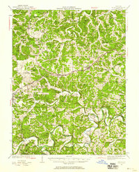
Editions of this 1944 Gerald Map
2 editions found
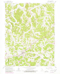
Historical Maps of Owensville Through Time
8 maps found